Distance to Mt Carrick, Ohio

Calculating Your Route
Just a moment while we process your request...
Location Information
-
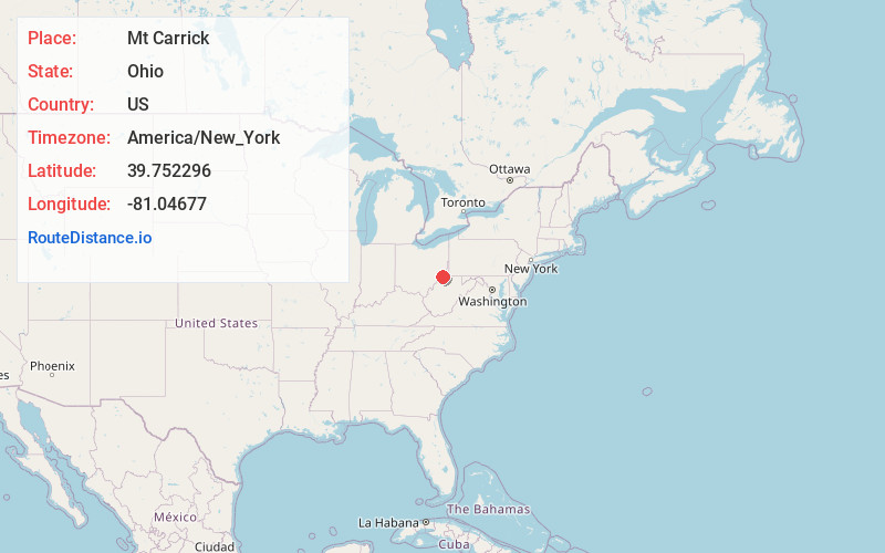
Full AddressMt Carrick, Center Township, OH 43793
-
Coordinates39.7522955, -81.0467699
-
LocationCenter Township , Ohio , US
-
TimezoneAmerica/New_York
-
Current Local Time7:49:47 AM America/New_YorkThursday, June 19, 2025
-
Page Views0
Nearby Places
Found 10 places within 50 miles

Altitude
1.2 mi
1.9 km
Altitude, OH 43793
Get directions
Cranenest
1.9 mi
3.1 km
Cranenest, Green Township, OH 43793
Get directions
Coats
2.1 mi
3.4 km
Coats, OH 43716
Get directions
Laings
3.0 mi
4.8 km
Laings, OH 43793
Get directions

Woodsfield
3.7 mi
6.0 km
Woodsfield, OH 43793
Get directions
Griffith
3.8 mi
6.1 km
Griffith, Center Township, OH 43793
Get directions
Round Bottom
4.3 mi
6.9 km
Round Bottom, Green Township, OH 43793
Get directions
Benwood
5.2 mi
8.4 km
Benwood, Green Township, OH 43793
Get directions
Ozark
5.5 mi
8.9 km
Ozark, Sunsbury Township, OH 43747
Get directions
Cameron
5.5 mi
8.9 km
Cameron, OH 43716
Get directions
Location Links
Local Weather
Weather Information
Coming soon!
Location Map
Static map view of Mt Carrick, Ohio
Browse Places by Distance
Places within specific distances from Mt Carrick
Short Distances
Long Distances
Click any distance to see all places within that range from Mt Carrick. Distances shown in miles (1 mile ≈ 1.61 kilometers).