Distance to Mt Jefferson, Oregon

Calculating Your Route
Just a moment while we process your request...
Location Information
-
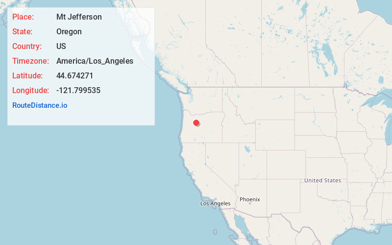
Full AddressMt Jefferson, Oregon 97350
-
Coordinates44.6742707, -121.7995351
-
LocationOregon , US
-
TimezoneAmerica/Los_Angeles
-
Current Local Time7:38:27 AM America/Los_AngelesThursday, July 3, 2025
-
Page Views0
About Mt Jefferson
Oregon's 2nd highest summit soaring to 10,500 ft & surrounded by wilderness named after president.


Nearby Places
Found 10 places within 50 miles

Marion Forks
8.3 mi
13.4 km
Marion Forks, OR 97350
Get directions

Mowich Lake
12.7 mi
20.4 km
Mowich Lake, Oregon 97759
Get directions

Idanha
13.9 mi
22.4 km
Idanha, OR 97350
Get directions

Camp Sherman
16.6 mi
26.7 km
Camp Sherman, OR 97730
Get directions

Detroit
17.7 mi
28.5 km
Detroit, OR 97342
Get directions

Santiam Junction
17.9 mi
28.8 km
Santiam Junction, OR 97759
Get directions

Lake Billy Chinook
21.7 mi
34.9 km
Lake Billy Chinook, Oregon
Get directions

Black Butte Ranch
21.7 mi
34.9 km
Black Butte Ranch, OR
Get directions

Clear Lake
23.2 mi
37.3 km
Clear Lake, Oregon 97759
Get directions
Grandview
24.4 mi
39.3 km
Grandview, OR 97734
Get directions
Location Links
Local Weather
Weather Information
Coming soon!
Location Map
Static map view of Mt Jefferson, Oregon
Browse Places by Distance
Places within specific distances from Mt Jefferson
Short Distances
Long Distances
Click any distance to see all places within that range from Mt Jefferson. Distances shown in miles (1 mile ≈ 1.61 kilometers).