Distance to Mt Olive, Indiana

Calculating Your Route
Just a moment while we process your request...
Location Information
-
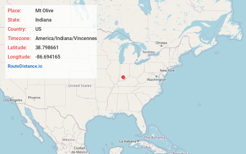
Full AddressMt Olive, Mitcheltree Township, IN 47581
-
Coordinates38.798661, -86.6941645
-
LocationMitcheltree Township , Indiana , US
-
TimezoneAmerica/Indiana/Vincennes
-
Current Local Time1:00:51 PM America/Indiana/VincennesSaturday, June 28, 2025
-
Page Views0
Nearby Places
Found 10 places within 50 miles

Williams
2.5 mi
4.0 km
Williams, IN 47470
Get directions
Cale
3.1 mi
5.0 km
Cale, IN 47581
Get directions
Silverville
4.4 mi
7.1 km
Silverville, IN 47470
Get directions
Huron
5.4 mi
8.7 km
Huron, IN
Get directions

Fayetteville
6.8 mi
10.9 km
Fayetteville, IN 47421
Get directions
Bryantsville
6.8 mi
10.9 km
Bryantsville, IN 47446
Get directions

Willow Valley
7.4 mi
11.9 km
Willow Valley, IN 47446
Get directions
Coxton
7.5 mi
12.1 km
Coxton, IN 47421
Get directions

Dover Hill
7.8 mi
12.6 km
Dover Hill, IN 47581
Get directions
Hartleyville
8.6 mi
13.8 km
Hartleyville, IN 47421
Get directions
Location Links
Local Weather
Weather Information
Coming soon!
Location Map
Static map view of Mt Olive, Indiana
Browse Places by Distance
Places within specific distances from Mt Olive
Short Distances
Long Distances
Click any distance to see all places within that range from Mt Olive. Distances shown in miles (1 mile ≈ 1.61 kilometers).