Distance to Murraysville, West Virginia

Calculating Your Route
Just a moment while we process your request...
Location Information
-
Full AddressMurraysville, WV 26164
-
Coordinates39.0775783, -81.8065221
-
LocationMurraysville , West Virginia , US
-
TimezoneAmerica/New_York
-
Current Local Time1:02:48 PM America/New_YorkSaturday, June 28, 2025
-
Page Views0
About Murraysville
Murraysville is an unincorporated community in northern Jackson County, West Virginia, United States. It is located along the Ohio River across from Long Bottom, Ohio. It lies along Murraysville Road, north of the city of Ripley, the county seat of Jackson County. Its elevation is 591 feet.
Nearby Places
Found 10 places within 50 miles

Long Bottom
0.6 mi
1.0 km
Long Bottom, OH 45743
Get directions
Neptune
1.4 mi
2.3 km
Neptune, WV 26164
Get directions
Polk
1.9 mi
3.1 km
Polk, WV 26164
Get directions
Hazael
2.0 mi
3.2 km
Hazael, Lebanon Township, OH 45772
Get directions
Lone Cedar
2.9 mi
4.7 km
Lone Cedar, WV 26164
Get directions

Shade River State Forest
3.0 mi
4.8 km
Shade River State Forest, Ohio
Get directions
Keno
3.4 mi
5.5 km
Keno, Chester Township, OH 45743
Get directions
Pond Creek
3.6 mi
5.8 km
Pond Creek, WV 26133
Get directions
Bald Knobs
3.9 mi
6.3 km
Bald Knobs, Lebanon Township, OH 45743
Get directions
Bashan
3.9 mi
6.3 km
Bashan, Chester Township, OH 45743
Get directions
Location Links
Local Weather
Weather Information
Coming soon!
Location Map
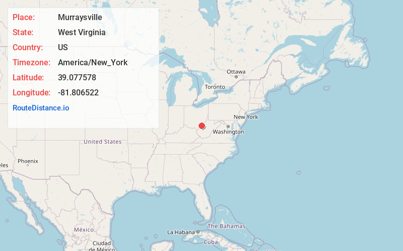
Static map view of Murraysville, West Virginia
Browse Places by Distance
Places within specific distances from Murraysville
Short Distances
Long Distances
Click any distance to see all places within that range from Murraysville. Distances shown in miles (1 mile ≈ 1.61 kilometers).