Distance to Nanjemoy, Maryland

Calculating Your Route
Just a moment while we process your request...
Location Information
-
Full AddressNanjemoy, MD 20662
-
Coordinates38.4556051, -77.2152853
-
LocationNanjemoy , Maryland , US
-
TimezoneAmerica/New_York
-
Current Local Time8:38:41 PM America/New_YorkThursday, June 5, 2025
-
Page Views0
About Nanjemoy
Nanjemoy is a settlement along Maryland Route 6 in southwestern Charles County, Maryland, United States, and the surrounding large rural area more or less bounded by Nanjemoy Creek to the east and north, and the Potomac River to the south and west.


Nearby Places
Found 10 places within 50 miles

Hill Top
5.6 mi
9.0 km
Hill Top, MD 20646
Get directions
Chicamuxen Creek
5.9 mi
9.5 km
Chicamuxen Creek, Maryland 20640
Get directions
Widewater
6.1 mi
9.8 km
Widewater, VA 22554
Get directions

Quantico
6.2 mi
10.0 km
Quantico, VA 22134
Get directions

Widewater Beach
6.8 mi
10.9 km
Widewater Beach, VA 22554
Get directions
Rison
6.8 mi
10.9 km
Rison, MD 20658
Get directions
Cherry Hill
8.4 mi
13.5 km
Cherry Hill, VA 22026
Get directions

Fairview Beach
8.8 mi
14.2 km
Fairview Beach, VA 22485
Get directions
Marbury
8.9 mi
14.3 km
Marbury, MD 20658
Get directions

Triangle
9.1 mi
14.6 km
Triangle, VA
Get directions
Location Links
Local Weather
Weather Information
Coming soon!
Location Map
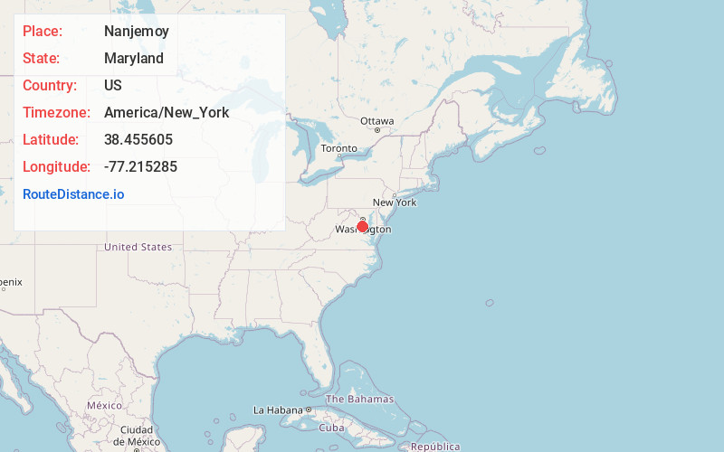
Static map view of Nanjemoy, Maryland
Browse Places by Distance
Places within specific distances from Nanjemoy
Short Distances
Long Distances
Click any distance to see all places within that range from Nanjemoy. Distances shown in miles (1 mile ≈ 1.61 kilometers).