Distance to Rison, Maryland

Calculating Your Route
Just a moment while we process your request...
Location Information
-
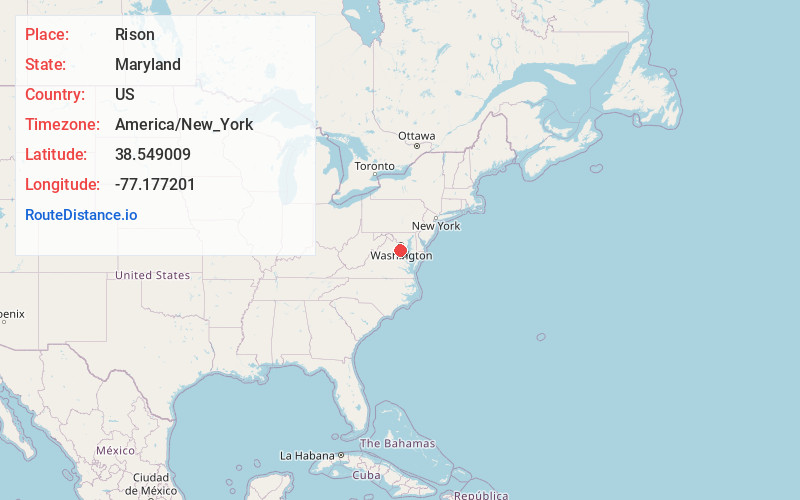
Full AddressRison, MD 20658
-
Coordinates38.549009, -77.1772014
-
LocationRison , Maryland , US
-
TimezoneAmerica/New_York
-
Current Local Time1:06:33 PM America/New_YorkTuesday, June 24, 2025
-
Page Views0
About Rison
Rison is an unincorporated community in Charles County, Maryland, United States. The Rison post office was established in 1905, but the area's residents are now part of the 20640 zip code area for nearby Indian Head. The community's elevation is 50 feet and it had a population of 50 in 1941.
Nearby Places
Found 10 places within 50 miles

Marbury
2.2 mi
3.5 km
Marbury, MD 20658
Get directions

Indian Head
3.6 mi
5.8 km
Indian Head, MD 20640
Get directions
Glymont
4.0 mi
6.4 km
Glymont, Indian Head, MD 20640
Get directions
Potomac Heights
4.6 mi
7.4 km
Potomac Heights, MD 20640
Get directions
Cherry Hill
5.1 mi
8.2 km
Cherry Hill, VA 22026
Get directions
Hill Top
5.1 mi
8.2 km
Hill Top, MD 20646
Get directions

Quantico
6.4 mi
10.3 km
Quantico, VA 22134
Get directions
Featherstone Shores
6.8 mi
10.9 km
Featherstone Shores, Woodbridge, VA 22191
Get directions
Pomonkey
7.0 mi
11.3 km
Pomonkey, Bryans Road, MD 20646
Get directions
Mason Neck
7.6 mi
12.2 km
Mason Neck, VA 22079
Get directions
Location Links
Local Weather
Weather Information
Coming soon!
Location Map
Static map view of Rison, Maryland
Browse Places by Distance
Places within specific distances from Rison
Short Distances
Long Distances
Click any distance to see all places within that range from Rison. Distances shown in miles (1 mile ≈ 1.61 kilometers).