Distance to Nellie, Oklahoma

Calculating Your Route
Just a moment while we process your request...
Location Information
-
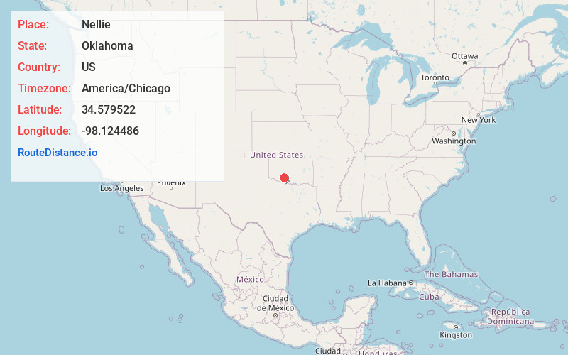
Full AddressNellie, Central High, OK 73501
-
Coordinates34.5795216, -98.1244863
-
LocationCentral High , Oklahoma , US
-
TimezoneAmerica/Chicago
-
Current Local Time12:38:03 PM America/ChicagoWednesday, June 18, 2025
-
Page Views0
Nearby Places
Found 10 places within 50 miles

Central High
2.8 mi
4.5 km
Central High, OK
Get directions

Letitia
5.0 mi
8.0 km
Letitia, OK 73501
Get directions
Pumpkin Center
5.1 mi
8.2 km
Pumpkin Center, OK 73501
Get directions
Denton
6.0 mi
9.7 km
Denton, Central High, OK 73055
Get directions
Hulen
7.6 mi
12.2 km
Hulen, OK 73572
Get directions

Marlow
10.6 mi
17.1 km
Marlow, OK 73055
Get directions

Duncan
10.9 mi
17.5 km
Duncan, OK
Get directions
Sterling
12.1 mi
19.5 km
Sterling, OK
Get directions

Empire City
12.3 mi
19.8 km
Empire City, OK
Get directions

Lake Humphreys
12.9 mi
20.8 km
Lake Humphreys, Duncan, OK 73055
Get directions
Location Links
Local Weather
Weather Information
Coming soon!
Location Map
Static map view of Nellie, Oklahoma
Browse Places by Distance
Places within specific distances from Nellie
Short Distances
Long Distances
Click any distance to see all places within that range from Nellie. Distances shown in miles (1 mile ≈ 1.61 kilometers).