Distance to Sterling, Oklahoma

Calculating Your Route
Just a moment while we process your request...
Location Information
-
Full AddressSterling, OK
-
Coordinates34.7503489, -98.1717131
-
LocationSterling , Oklahoma , US
-
TimezoneAmerica/Chicago
-
Current Local Time2:54:18 PM America/ChicagoSunday, June 15, 2025
-
Page Views0
About Sterling
Sterling is a town in Comanche County, Oklahoma, United States. The population was 793 at the 2010 census. It is part of the Lawton Metropolitan Statistical Area.
Nearby Places
Found 10 places within 50 miles

Fletcher
6.5 mi
10.5 km
Fletcher, OK 73541
Get directions

Elgin
7.2 mi
11.6 km
Elgin, OK 73538
Get directions

Central High
10.9 mi
17.5 km
Central High, OK
Get directions

Rush Springs
12.4 mi
20.0 km
Rush Springs, OK 73082
Get directions

Marlow
14.0 mi
22.5 km
Marlow, OK 73055
Get directions

Apache
14.8 mi
23.8 km
Apache, OK 73006
Get directions

Lawton
16.3 mi
26.2 km
Lawton, OK
Get directions

Ninnekah
19.7 mi
31.7 km
Ninnekah, OK
Get directions

Duncan
21.0 mi
33.8 km
Duncan, OK
Get directions

Bray
21.6 mi
34.8 km
Bray, OK 73055
Get directions
Location Links
Local Weather
Weather Information
Coming soon!
Location Map
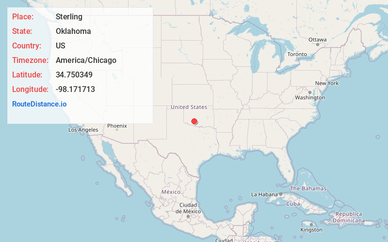
Static map view of Sterling, Oklahoma
Browse Places by Distance
Places within specific distances from Sterling
Short Distances
Long Distances
Click any distance to see all places within that range from Sterling. Distances shown in miles (1 mile ≈ 1.61 kilometers).