Distance to Nelson, North Carolina

Calculating Your Route
Just a moment while we process your request...
Location Information
-
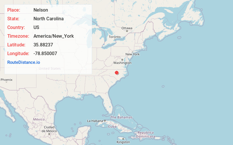
Full AddressNelson, Durham, NC 27703
-
Coordinates35.88237, -78.850007
-
LocationDurham , North Carolina , US
-
TimezoneAmerica/New_York
-
Current Local Time8:56:01 PM America/New_YorkTuesday, June 17, 2025
-
Page Views0
About Nelson
Nelson was a community in Durham County, North Carolina, United States. The community was centered at the intersection of Miami Boulevard and North Carolina Highway 54. It was largely a farming community, with several tobacco and livestock farms as well as a tight knit family oriented community.
Nearby Places
Found 10 places within 50 miles

Clegg
1.2 mi
1.9 km
Clegg, NC 27560
Get directions
Lowes Grove
2.6 mi
4.2 km
Lowes Grove, Durham, NC 27713
Get directions
Cedar Fork Township
2.9 mi
4.7 km
Cedar Fork Township, NC
Get directions
Brassfield
3.4 mi
5.5 km
Brassfield, Durham, NC 27703
Get directions

Morrisville
4.3 mi
6.9 km
Morrisville, NC
Get directions
Bilboa
5.1 mi
8.2 km
Bilboa, NC 27703
Get directions
Blands
6.0 mi
9.7 km
Blands, NC 27713
Get directions
Upchurch
6.4 mi
10.3 km
Upchurch, Cary, NC 27519
Get directions
Brookstone
6.6 mi
10.6 km
Brookstone, Cary, NC 27519
Get directions
Oak Grove
7.0 mi
11.3 km
Oak Grove, NC 27703
Get directions
Location Links
Local Weather
Weather Information
Coming soon!
Location Map
Static map view of Nelson, North Carolina
Browse Places by Distance
Places within specific distances from Nelson
Short Distances
Long Distances
Click any distance to see all places within that range from Nelson. Distances shown in miles (1 mile ≈ 1.61 kilometers).