Distance to New Albany Township, Indiana

Calculating Your Route
Just a moment while we process your request...
Location Information
-
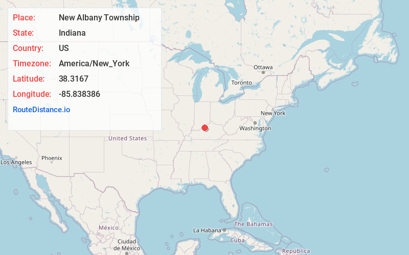
Full AddressNew Albany Township, IN
-
Coordinates38.3167001, -85.8383857
-
LocationNew Albany Township , Indiana , US
-
TimezoneAmerica/New_York
-
Current Local Time4:40:38 PM America/New_YorkWednesday, June 4, 2025
-
Page Views0
About New Albany Township
New Albany Township is one of five townships in Floyd County, Indiana. As of the 2010 census, its population was 49,252 and it contained 22,226 housing units.
Nearby Places
Found 10 places within 50 miles

Floyds Knobs
2.0 mi
3.2 km
Floyds Knobs, IN
Get directions

New Albany
2.3 mi
3.7 km
New Albany, IN 47150
Get directions

Blackiston Mill
2.5 mi
4.0 km
Blackiston Mill, New Albany, IN 47150
Get directions

Mt St Francis
3.8 mi
6.1 km
Mt St Francis, IN 47119
Get directions

Edwardsville
4.5 mi
7.2 km
Edwardsville, Georgetown Township, IN 47122
Get directions

Clarksville
4.5 mi
7.2 km
Clarksville, IN
Get directions
Duncan
5.1 mi
8.2 km
Duncan, Georgetown Township, IN 47122
Get directions
Hamburg
6.0 mi
9.7 km
Hamburg, Silver Creek Township, IN 47172
Get directions
Galena
6.1 mi
9.8 km
Galena, IN
Get directions

Jeffersonville
6.1 mi
9.8 km
Jeffersonville, IN
Get directions
Location Links
Local Weather
Weather Information
Coming soon!
Location Map
Static map view of New Albany Township, Indiana
Browse Places by Distance
Places within specific distances from New Albany Township
Short Distances
Long Distances
Click any distance to see all places within that range from New Albany Township. Distances shown in miles (1 mile ≈ 1.61 kilometers).