Distance to Newtonia, Missouri

Calculating Your Route
Just a moment while we process your request...
Location Information
-
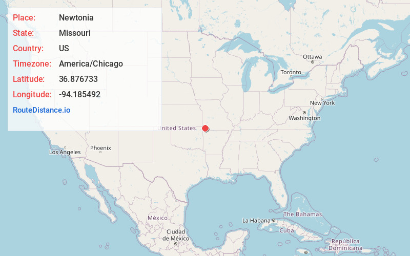
Full AddressNewtonia, MO 64866
-
Coordinates36.8767328, -94.1854918
-
LocationNewtonia , Missouri , US
-
TimezoneAmerica/Chicago
-
Current Local Time11:12:56 AM America/ChicagoFriday, June 6, 2025
-
Page Views0
About Newtonia
Newtonia is a village in Newton County, Missouri, United States. The population was 199 at the 2010 census. It is part of the Joplin, Missouri Metropolitan Statistical Area. Newtonia was the site of the Battles of Newtonia during the American Civil War.


Nearby Places
Found 10 places within 50 miles

Granby
4.8 mi
7.7 km
Granby, MO 64844
Get directions

Fairview
6.8 mi
10.9 km
Fairview, MO 64842
Get directions

Stella
8.0 mi
12.9 km
Stella, MO 64867
Get directions

Neosho
10.1 mi
16.3 km
Neosho, MO 64850
Get directions

Wheaton
10.6 mi
17.1 km
Wheaton, MO
Get directions

Diamond
10.9 mi
17.5 km
Diamond, MO 64840
Get directions

Pierce City
11.3 mi
18.2 km
Pierce City, MO 65723
Get directions

Sarcoxie
13.8 mi
22.2 km
Sarcoxie, MO 64862
Get directions

Monett
14.6 mi
23.5 km
Monett, MO
Get directions
Fidelity
15.0 mi
24.1 km
Fidelity, MO 64836
Get directions
Location Links
Local Weather
Weather Information
Coming soon!
Location Map
Static map view of Newtonia, Missouri
Browse Places by Distance
Places within specific distances from Newtonia
Short Distances
Long Distances
Click any distance to see all places within that range from Newtonia. Distances shown in miles (1 mile ≈ 1.61 kilometers).