Distance to Newtonsville, Ohio

Calculating Your Route
Just a moment while we process your request...
Location Information
-
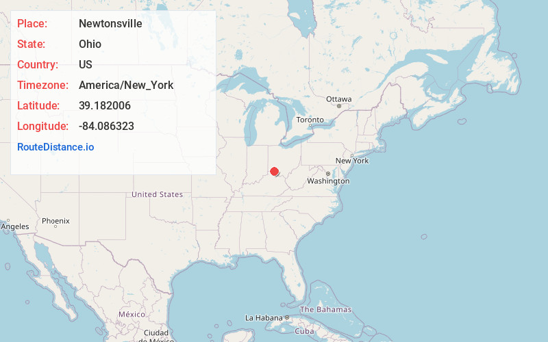
Full AddressNewtonsville, OH
-
Coordinates39.1820064, -84.0863225
-
LocationNewtonsville , Ohio , US
-
TimezoneAmerica/New_York
-
Current Local Time12:20:24 AM America/New_YorkFriday, June 20, 2025
-
Page Views0
About Newtonsville
Newtonsville is an unincorporated community and former village in Clermont County, Ohio, United States. The population was 392 at the 2010 census. In 2019, residents voted to dissolve the village.
Nearby Places
Found 10 places within 50 miles

Modest
1.4 mi
2.3 km
Modest, Wayne Township, OH 45122
Get directions

Stonelick Lake
2.7 mi
4.3 km
Stonelick Lake, Wayne Township, OH
Get directions
Edenton
3.7 mi
6.0 km
Edenton, OH 45122
Get directions
Owensville
4.9 mi
7.9 km
Owensville, OH
Get directions

Marathon
5.0 mi
8.0 km
Marathon, OH 45176
Get directions

Goshen
5.4 mi
8.7 km
Goshen, OH 45122
Get directions

Lake Lorelei
6.5 mi
10.5 km
Lake Lorelei, OH 45118
Get directions
Vera Cruz
6.7 mi
10.8 km
Vera Cruz, Perry Township, OH 45118
Get directions

Pleasant Plain
6.9 mi
11.1 km
Pleasant Plain, OH 45162
Get directions
Mt Repose
7.5 mi
12.1 km
Mt Repose, OH 45150
Get directions
Location Links
Local Weather
Weather Information
Coming soon!
Location Map
Static map view of Newtonsville, Ohio
Browse Places by Distance
Places within specific distances from Newtonsville
Short Distances
Long Distances
Click any distance to see all places within that range from Newtonsville. Distances shown in miles (1 mile ≈ 1.61 kilometers).