Distance to and from Niceville, Florida
Niceville, FL
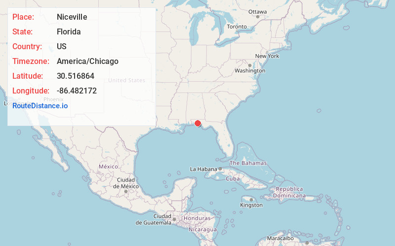
Niceville
Florida
US
America/Chicago
Location Information
-
Full AddressNiceville, FL
-
Coordinates30.5168639, -86.482172
-
LocationNiceville , Florida , US
-
TimezoneAmerica/Chicago
-
Current Local Time2:22:32 PM America/ChicagoSaturday, May 3, 2025
-
Page Views0
Directions to Nearest Cities
About Niceville
Niceville is a city in Okaloosa County, Florida, United States, located near Eglin Air Force Base on Boggy Bayou that opens into Choctawhatchee Bay. It is part of the Crestview-Fort Walton Beach-Destin, Florida Metropolitan Statistical Area.


Nearby Places
Found 10 places within 50 miles

Wright
10.2 mi
16.4 km
Wright, FL
Get directions

Crestview
17.3 mi
27.8 km
Crestview, FL
Get directions

Navarre
26.6 mi
42.8 km
Navarre, FL
Get directions

Panama City Beach
40.6 mi
65.3 km
Panama City Beach, FL
Get directions

Pace
40.8 mi
65.7 km
Pace, FL 32571
Get directions

Ferry Pass
43.5 mi
70.0 km
Ferry Pass, FL
Get directions

Pensacola
44.5 mi
71.6 km
Pensacola, FL
Get directions

Brent
45.0 mi
72.4 km
Brent, FL
Get directions
Ensley
47.1 mi
75.8 km
Ensley, FL
Get directions

West Pensacola
47.9 mi
77.1 km
West Pensacola, FL
Get directions
Wright
10.2 mi
16.4 km
Wright, FL
Crestview
17.3 mi
27.8 km
Crestview, FL
Navarre
26.6 mi
42.8 km
Navarre, FL
Panama City Beach
40.6 mi
65.3 km
Panama City Beach, FL
Pace
40.8 mi
65.7 km
Pace, FL 32571
Ferry Pass
43.5 mi
70.0 km
Ferry Pass, FL
Pensacola
44.5 mi
71.6 km
Pensacola, FL
Brent
45.0 mi
72.4 km
Brent, FL
Ensley
47.1 mi
75.8 km
Ensley, FL
West Pensacola
47.9 mi
77.1 km
West Pensacola, FL
Location Links
Local Weather
Weather Information
Coming soon!
Location Map
Static map view of Niceville, Florida
Browse Places by Distance
Places within specific distances from Niceville
Short Distances
Long Distances
Click any distance to see all places within that range from Niceville. Distances shown in miles (1 mile ≈ 1.61 kilometers).