Distance to Nicollet, Minnesota

Calculating Your Route
Just a moment while we process your request...
Location Information
-
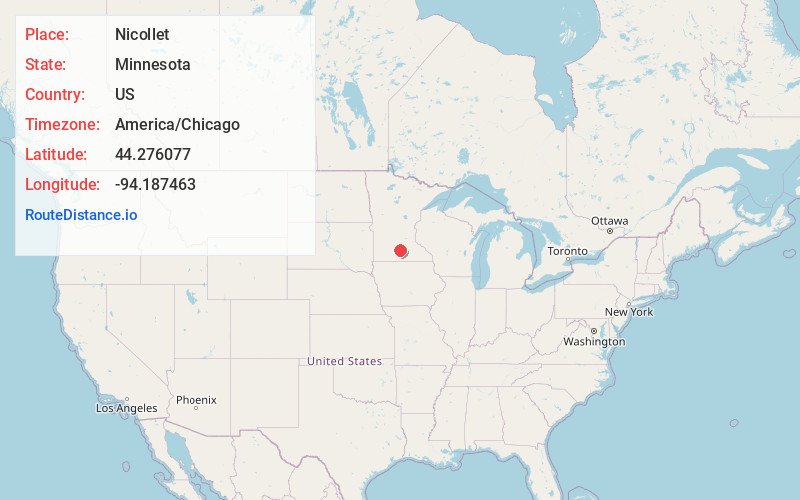
Full AddressNicollet, MN 56074
-
Coordinates44.2760774, -94.1874633
-
LocationNicollet , Minnesota , US
-
TimezoneAmerica/Chicago
-
Current Local Time6:39:24 PM America/ChicagoFriday, May 30, 2025
-
Page Views0
About Nicollet
Nicollet is a city in Nicollet County, Minnesota, United States. The population was 1,143 at the 2020 census.
It is part of the Mankato—North Mankato Metropolitan Statistical Area.
U.S. Route 14 and Minnesota State Highways 99 and 111 are the three main arterial routes in the community.
Nearby Places
Found 10 places within 50 miles

North Mankato
10.4 mi
16.7 km
North Mankato, MN 56003
Get directions

Mankato
11.8 mi
19.0 km
Mankato, MN
Get directions

Lake Crystal
11.9 mi
19.2 km
Lake Crystal, MN 56055
Get directions

St Peter
12.0 mi
19.3 km
St Peter, MN 56082
Get directions

New Ulm
13.7 mi
22.0 km
New Ulm, MN 56073
Get directions

Eagle Lake
17.0 mi
27.4 km
Eagle Lake, MN
Get directions

Le Sueur
18.6 mi
29.9 km
Le Sueur, MN 56058
Get directions

Madison Lake
19.1 mi
30.7 km
Madison Lake, MN 56063
Get directions

Gaylord
19.3 mi
31.1 km
Gaylord, MN 55334
Get directions

Madelia
19.3 mi
31.1 km
Madelia, MN 56062
Get directions
Location Links
Local Weather
Weather Information
Coming soon!
Location Map
Static map view of Nicollet, Minnesota
Browse Places by Distance
Places within specific distances from Nicollet
Short Distances
Long Distances
Click any distance to see all places within that range from Nicollet. Distances shown in miles (1 mile ≈ 1.61 kilometers).