Distance to Ola, Idaho

Calculating Your Route
Just a moment while we process your request...
Location Information
-
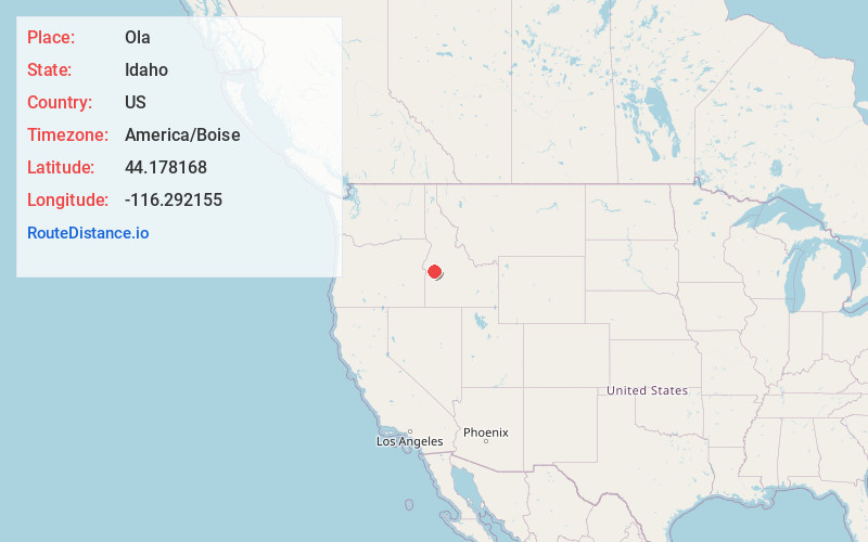
Full AddressOla, ID 83657
-
Coordinates44.1781676, -116.2921545
-
LocationOla , Idaho , US
-
TimezoneAmerica/Boise
-
Current Local Time5:43:46 PM America/BoiseWednesday, June 18, 2025
-
Page Views0
About Ola
Ola is an unincorporated community in Gem County, Idaho, United States. It is located 23 mi northeast of Emmett.
Ola was established as a post office July 22, 1882, by Carroll Baird. It serves the Upper Squaw Creek Valley.


Nearby Places
Found 10 places within 50 miles

Big Eddy
9.5 mi
15.3 km
Big Eddy, ID 83611
Get directions

Banks
10.7 mi
17.2 km
Banks, ID 83602
Get directions

Brownlee
11.9 mi
19.2 km
Brownlee, ID 83629
Get directions

Smiths Ferry
13.3 mi
21.4 km
Smiths Ferry, ID 83611
Get directions

Crouch
16.5 mi
26.6 km
Crouch, ID 83622
Get directions

Garden Valley
17.8 mi
28.6 km
Garden Valley, ID 83622
Get directions

Horseshoe Bend
18.8 mi
30.3 km
Horseshoe Bend, ID 83629
Get directions
Black Canyon
18.9 mi
30.4 km
Black Canyon, ID 83617
Get directions
Alpha
20.3 mi
32.7 km
Alpha, ID 83611
Get directions
Quartzburg
21.3 mi
34.3 km
Quartzburg, ID 83666
Get directions
Location Links
Local Weather
Weather Information
Coming soon!
Location Map
Static map view of Ola, Idaho
Browse Places by Distance
Places within specific distances from Ola
Short Distances
Long Distances
Click any distance to see all places within that range from Ola. Distances shown in miles (1 mile ≈ 1.61 kilometers).