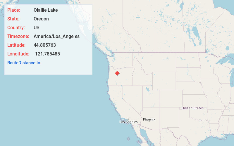
Distance to Olallie Lake, Oregon

Calculating Your Route
Just a moment while we process your request...
Location Information
-
Full AddressOlallie Lake, Oregon
-
Coordinates44.805763, -121.7854847
-
LocationOregon , US
-
TimezoneAmerica/Los_Angeles
-
Current Local Time11:54:51 AM America/Los_AngelesMonday, June 2, 2025
-
Page Views0


Nearby Places
Found 10 places within 50 miles

Mt Jefferson
9.1 mi
14.6 km
Mt Jefferson, Oregon 97350
Get directions

Marion Forks
15.3 mi
24.6 km
Marion Forks, OR 97350
Get directions

Idanha
16.1 mi
25.9 km
Idanha, OR 97350
Get directions

Detroit
18.5 mi
29.8 km
Detroit, OR 97342
Get directions

Bagby Hot Springs
21.0 mi
33.8 km
Bagby Hot Springs, Oregon
Get directions

Mowich Lake
21.6 mi
34.8 km
Mowich Lake, Oregon 97759
Get directions

Ripplebrook
22.9 mi
36.9 km
Ripplebrook, OR 97023
Get directions

Simnasho
24.2 mi
38.9 km
Simnasho, OR 97761
Get directions

Camp Sherman
24.8 mi
39.9 km
Camp Sherman, OR 97730
Get directions

Lake Billy Chinook
25.1 mi
40.4 km
Lake Billy Chinook, Oregon
Get directions
Location Links
Local Weather
Weather Information
Coming soon!
Location Map
Static map view of Olallie Lake, Oregon
Browse Places by Distance
Places within specific distances from Olallie Lake
Short Distances
Long Distances
Click any distance to see all places within that range from Olallie Lake. Distances shown in miles (1 mile ≈ 1.61 kilometers).