Distance to Old Fort Lyons, Colorado

Calculating Your Route
Just a moment while we process your request...
Location Information
-
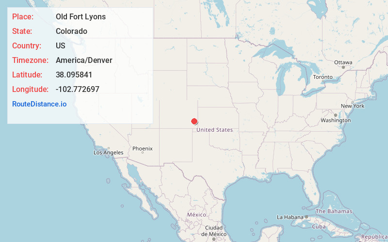
Full AddressOld Fort Lyons, CO 81052
-
Coordinates38.0958412, -102.7726972
-
LocationColorado , US
-
TimezoneAmerica/Denver
-
Current Local Time5:12:19 PM America/DenverMonday, June 30, 2025
-
Page Views0
Nearby Places
Found 10 places within 50 miles

Prowers
1.0 mi
1.6 km
Prowers, CO 81052
Get directions
Keesee
2.8 mi
4.5 km
Keesee, CO 81057
Get directions

Wiley
5.0 mi
8.0 km
Wiley, CO 81092
Get directions
McClave
5.1 mi
8.2 km
McClave, CO 81057
Get directions

Able
5.8 mi
9.3 km
Able, CO 81044
Get directions
Sugar
6.8 mi
10.9 km
Sugar, CO 81092
Get directions
Big Bend
7.4 mi
11.9 km
Big Bend, CO 81092
Get directions

Lamar
8.3 mi
13.4 km
Lamar, CO 81052
Get directions
Lubers
8.6 mi
13.8 km
Lubers, CO 81057
Get directions
Culp
9.3 mi
15.0 km
Culp, CO 81052
Get directions
Location Links
Local Weather
Weather Information
Coming soon!
Location Map
Static map view of Old Fort Lyons, Colorado
Browse Places by Distance
Places within specific distances from Old Fort Lyons
Short Distances
Long Distances
Click any distance to see all places within that range from Old Fort Lyons. Distances shown in miles (1 mile ≈ 1.61 kilometers).