Distance to Olin, Kentucky

Calculating Your Route
Just a moment while we process your request...
Location Information
-
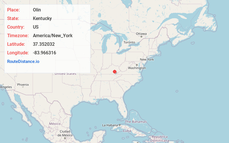
Full AddressOlin, KY 40402
-
Coordinates37.352032, -83.9663161
-
LocationKentucky , US
-
TimezoneAmerica/New_York
-
Current Local Time12:09:46 PM America/New_YorkMonday, June 23, 2025
-
Page Views0
Nearby Places
Found 10 places within 50 miles

Mildred
2.1 mi
3.4 km
Mildred, KY 40447
Get directions
Atkinstown
2.2 mi
3.5 km
Atkinstown, KY 40447
Get directions

Annville
2.3 mi
3.7 km
Annville, KY
Get directions
Gray Hawk
3.3 mi
5.3 km
Gray Hawk, KY 40447
Get directions
Dabolt
3.4 mi
5.5 km
Dabolt, KY 40447
Get directions

Tyner
3.4 mi
5.5 km
Tyner, KY 40486
Get directions

Daniel Boone National Forest
4.8 mi
7.7 km
Daniel Boone National Forest, Kentucky 40447
Get directions
Privett
5.0 mi
8.0 km
Privett, KY 40486
Get directions
Bradshaw
5.1 mi
8.2 km
Bradshaw, KY 40447
Get directions
Maulden
5.4 mi
8.7 km
Maulden, KY 40486
Get directions
Location Links
Local Weather
Weather Information
Coming soon!
Location Map
Static map view of Olin, Kentucky
Browse Places by Distance
Places within specific distances from Olin
Short Distances
Long Distances
Click any distance to see all places within that range from Olin. Distances shown in miles (1 mile ≈ 1.61 kilometers).