Distance to Olive Branch, Illinois

Calculating Your Route
Just a moment while we process your request...
Location Information
-
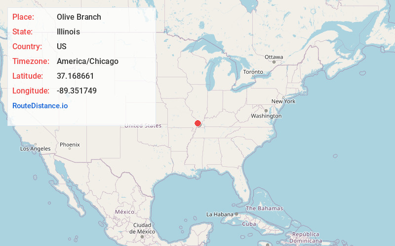
Full AddressOlive Branch, IL
-
Coordinates37.1686612, -89.3517487
-
LocationOlive Branch , Illinois , US
-
TimezoneAmerica/Chicago
-
Current Local Time5:13:28 AM America/ChicagoFriday, June 13, 2025
-
Page Views1
About Olive Branch
Olive Branch is a census-designated place in Olive Branch and Sandusky precincts, Alexander County, Illinois, United States. It has a post office with the ZIP code 62969. Its population was 650 at the 2020 census.
Olive Branch is part of the Cape Girardeau–Jackson, MO-IL Metropolitan Statistical Area.


Nearby Places
Found 10 places within 50 miles

Mounds
9.3 mi
15.0 km
Mounds, IL 62964
Get directions

Scott City
10.1 mi
16.3 km
Scott City, MO
Get directions

Kelso
11.0 mi
17.7 km
Kelso, MO
Get directions

Mound City
11.9 mi
19.2 km
Mound City, IL 62963
Get directions

Benton
12.6 mi
20.3 km
Benton, MO 63736
Get directions

Cape Girardeau
13.2 mi
21.2 km
Cape Girardeau, MO
Get directions

Cairo
14.9 mi
24.0 km
Cairo, IL 62914
Get directions

Chaffee
16.7 mi
26.9 km
Chaffee, MO 63740
Get directions

Dongola
16.8 mi
27.0 km
Dongola, IL 62926
Get directions

Charleston
17.1 mi
27.5 km
Charleston, MO 63834
Get directions
Location Links
Local Weather
Weather Information
Coming soon!
Location Map
Static map view of Olive Branch, Illinois
Browse Places by Distance
Places within specific distances from Olive Branch
Short Distances
Long Distances
Click any distance to see all places within that range from Olive Branch. Distances shown in miles (1 mile ≈ 1.61 kilometers).