Distance to Olympia, Kentucky

Calculating Your Route
Just a moment while we process your request...
Location Information
-
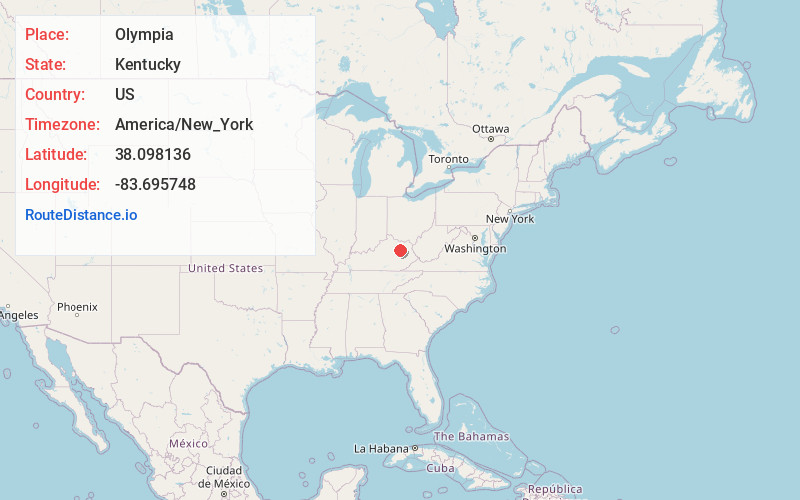
Full AddressOlympia, KY 40358
-
Coordinates38.0981359, -83.6957484
-
LocationOlympia , Kentucky , US
-
TimezoneAmerica/New_York
-
Current Local Time9:06:45 PM America/New_YorkFriday, June 20, 2025
-
Page Views0
About Olympia
Olympia is an unincorporated community in Bath County, Kentucky, United States. The community is located along Kentucky Route 36 5 miles southeast of Owingsville. Olympia has a post office with ZIP code 40358.
Olympia is near the site of the 1876 Kentucky meat shower.


Nearby Places
Found 10 places within 50 miles

Bath County
1.4 mi
2.3 km
Bath County, KY
Get directions

Preston
3.2 mi
5.1 km
Preston, KY 40360
Get directions

Polksville
3.6 mi
5.8 km
Polksville, KY 40371
Get directions
Peasticks
4.0 mi
6.4 km
Peasticks, KY 40360
Get directions

Salt Lick
4.7 mi
7.6 km
Salt Lick, KY 40371
Get directions

Owingsville
4.9 mi
7.9 km
Owingsville, KY 40360
Get directions
Slate Valley
5.1 mi
8.2 km
Slate Valley, KY 40360
Get directions
Peeled Oak Creek
5.5 mi
8.9 km
Peeled Oak Creek, Kentucky 40360
Get directions
Sudith
6.5 mi
10.5 km
Sudith, KY 40346
Get directions
Clear Creek Furnace
6.7 mi
10.8 km
Clear Creek Furnace, KY 40371
Get directions
Location Links
Local Weather
Weather Information
Coming soon!
Location Map
Static map view of Olympia, Kentucky
Browse Places by Distance
Places within specific distances from Olympia
Short Distances
Long Distances
Click any distance to see all places within that range from Olympia. Distances shown in miles (1 mile ≈ 1.61 kilometers).