Distance to Polksville, Kentucky

Calculating Your Route
Just a moment while we process your request...
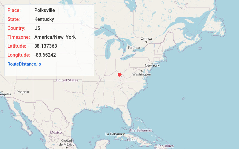
Location Information
-
Full AddressPolksville, KY 40371
-
Coordinates38.137363, -83.65242
-
LocationPolksville , Kentucky , US
-
TimezoneAmerica/New_York
-
Current Local Time5:53:54 AM America/New_YorkThursday, June 19, 2025
-
Page Views0
About Polksville
Polksville is an unincorporated community in Bath County, Kentucky, United States. Polksville is located on U.S. Route 60 2.5 miles northwest of Salt Lick.
Nearby Places
Found 10 places within 50 miles

Salt Lick
2.4 mi
3.9 km
Salt Lick, KY 40371
Get directions

Peasticks
2.8 mi
4.5 km
Peasticks, KY 40360
Get directions

Bath County
4.2 mi
6.8 km
Bath County, KY
Get directions
Colfax
5.3 mi
8.5 km
Colfax, KY 41049
Get directions
Farmers
5.8 mi
9.3 km
Farmers, KY 40351
Get directions

Owingsville
6.1 mi
9.8 km
Owingsville, KY 40360
Get directions

Preston
6.5 mi
10.5 km
Preston, KY 40360
Get directions
Bluestone
7.7 mi
12.4 km
Bluestone, KY 40351
Get directions
Lakeview Heights
8.1 mi
13.0 km
Lakeview Heights, KY 40351
Get directions
Sharkey
8.2 mi
13.2 km
Sharkey, KY 41049
Get directions
Location Links
Local Weather
Weather Information
Coming soon!
Location Map
Static map view of Polksville, Kentucky
Browse Places by Distance
Places within specific distances from Polksville
Short Distances
Long Distances
Click any distance to see all places within that range from Polksville. Distances shown in miles (1 mile ≈ 1.61 kilometers).