Distance to Omira, California

Calculating Your Route
Just a moment while we process your request...
Location Information
-
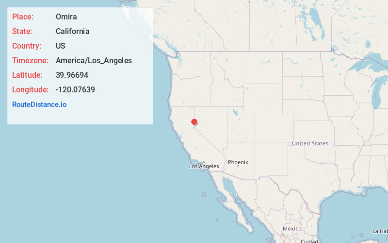
Full AddressOmira, CA 96109
-
Coordinates39.96694, -120.07639
-
LocationOmira , California , US
-
TimezoneAmerica/Los_Angeles
-
Current Local Time11:33:04 PM America/Los_AngelesFriday, June 20, 2025
-
Page Views0
About Omira
Omira is an unincorporated community in Lassen County, California. It is located on the Western Pacific Railroad 2.25 miles west-northwest of Constantia, at an elevation of 4347 feet.
A post office operated at Omira from 1910 to 1911 and from 1915 to 1918.

Nearby Places
Found 10 places within 50 miles

Doyle
4.4 mi
7.1 km
Doyle, CA 96109
Get directions

Scotts
8.4 mi
13.5 km
Scotts, CA 96109
Get directions

Dry Valley Creek
11.0 mi
17.7 km
Dry Valley Creek, Nevada
Get directions

Chilcoot-Vinton
11.4 mi
18.3 km
Chilcoot-Vinton, CA
Get directions

Herlong
12.6 mi
20.3 km
Herlong, CA 96113
Get directions
Patton Village
13.0 mi
20.9 km
Patton Village, CA
Get directions
Hawley
18.2 mi
29.3 km
Hawley, CA 96129
Get directions
Stacy
18.4 mi
29.6 km
Stacy, CA 96136
Get directions

Beckwourth
19.0 mi
30.6 km
Beckwourth, CA
Get directions
Peavine
20.3 mi
32.7 km
Peavine, CA 96105
Get directions
Location Links
Local Weather
Weather Information
Coming soon!
Location Map
Static map view of Omira, California
Browse Places by Distance
Places within specific distances from Omira
Short Distances
Long Distances
Click any distance to see all places within that range from Omira. Distances shown in miles (1 mile ≈ 1.61 kilometers).