Distance to Peavine, California

Calculating Your Route
Just a moment while we process your request...
Location Information
-
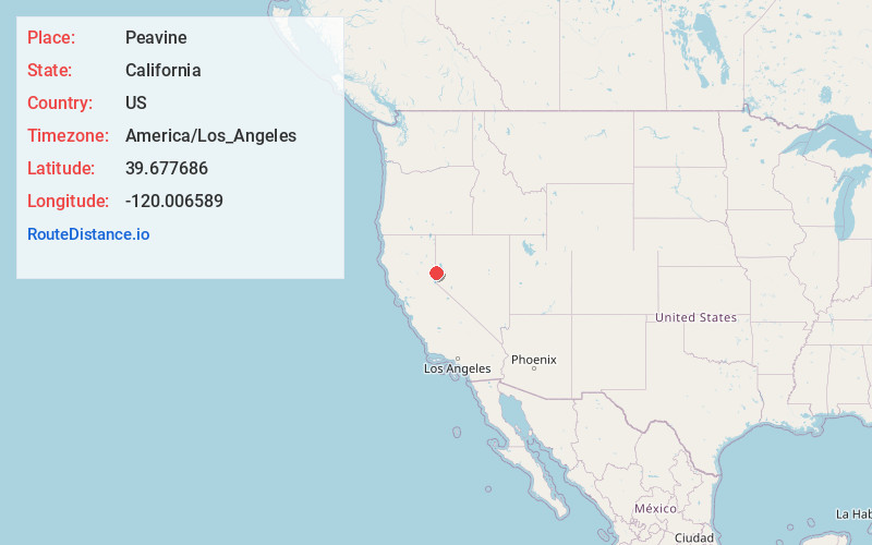
Full AddressPeavine, CA 96105
-
Coordinates39.6776857, -120.006589
-
LocationCalifornia , US
-
TimezoneAmerica/Los_Angeles
-
Current Local Time11:26:01 AM America/Los_AngelesTuesday, July 1, 2025
-
Page Views0
Nearby Places
Found 10 places within 50 miles

Cold Springs
1.6 mi
2.6 km
Cold Springs, NV 89508
Get directions

Copperfield
4.6 mi
7.4 km
Copperfield, NV 89506
Get directions
Martin
8.8 mi
14.2 km
Martin, NV 89506
Get directions
Raleigh Heights
10.7 mi
17.2 km
Raleigh Heights, Reno, NV 89506
Get directions

Verdi
10.8 mi
17.4 km
Verdi, CA
Get directions

Chilcoot-Vinton
10.8 mi
17.4 km
Chilcoot-Vinton, CA
Get directions
Golden Valley
10.9 mi
17.5 km
Golden Valley, NV
Get directions

Verdi
11.1 mi
17.9 km
Verdi, NV
Get directions
Sierra Brooks
11.5 mi
18.5 km
Sierra Brooks, CA 96118
Get directions

Mogul
12.1 mi
19.5 km
Mogul, NV 89523
Get directions
Location Links
Local Weather
Weather Information
Coming soon!
Location Map
Static map view of Peavine, California
Browse Places by Distance
Places within specific distances from Peavine
Short Distances
Long Distances
Click any distance to see all places within that range from Peavine. Distances shown in miles (1 mile ≈ 1.61 kilometers).