Distance to Orlean, Virginia

Calculating Your Route
Just a moment while we process your request...
Location Information
-
Full AddressOrlean, VA 20115
-
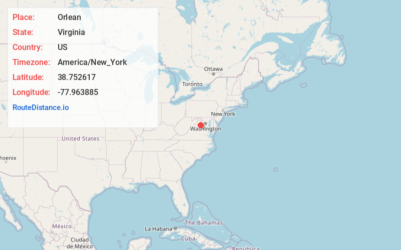
Coordinates38.7526166, -77.9638846
-
LocationOrlean , Virginia , US
-
TimezoneAmerica/New_York
-
Current Local Time5:20:51 AM America/New_YorkWednesday, June 18, 2025
-
Page Views0
About Orlean
Orlean is a small unincorporated village in Fauquier County, Virginia, located approximately 50 miles west of Washington, DC. Orlean is situated at the intersection of Leeds Manor Road and John Barton Payne Road. The Orlean Post Office has the ZIP Code of 20128.
Nearby Places
Found 10 places within 50 miles

Palmers Crossroads
3.4 mi
5.5 km
Palmers Crossroads, VA 20115
Get directions
Vernon Mills
3.5 mi
5.6 km
Vernon Mills, VA 20115
Get directions
Flint Hill
7.4 mi
11.9 km
Flint Hill, VA
Get directions
Viewtown
8.8 mi
14.2 km
Viewtown, VA 20106
Get directions
Airlie
9.3 mi
15.0 km
Airlie, VA 20187
Get directions

Warrenton
9.5 mi
15.3 km
Warrenton, VA
Get directions

Marshall
9.8 mi
15.8 km
Marshall, VA
Get directions
Oakshade
10.6 mi
17.1 km
Oakshade, VA 22737
Get directions
Foster Fork
11.4 mi
18.3 km
Foster Fork, VA 20187
Get directions

Chester Gap
11.6 mi
18.7 km
Chester Gap, VA
Get directions
Location Links
Local Weather
Weather Information
Coming soon!
Location Map
Static map view of Orlean, Virginia
Browse Places by Distance
Places within specific distances from Orlean
Short Distances
Long Distances
Click any distance to see all places within that range from Orlean. Distances shown in miles (1 mile ≈ 1.61 kilometers).