Distance to Orogrande, New Mexico

Calculating Your Route
Just a moment while we process your request...
Location Information
-
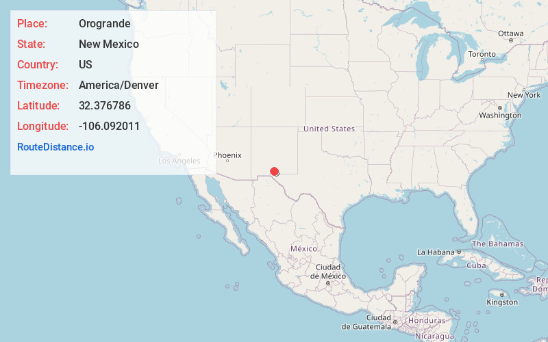
Full AddressOrogrande, NM 88342
-
Coordinates32.3767862, -106.0920105
-
LocationOrogrande , New Mexico , US
-
TimezoneAmerica/Denver
-
Current Local Time11:07:06 PM America/DenverThursday, June 19, 2025
-
Page Views0
About Orogrande
Orogrande is an unincorporated community in Otero County, New Mexico, United States, located in the Jarilla Mountains of the Tularosa Basin on U.S. 54 between El Paso, Texas and Alamogordo. The community had a population of 52 in the 2010 census.


Nearby Places
Found 10 places within 50 miles

Timberon
28.7 mi
46.2 km
Timberon, NM 88350
Get directions

Chaparral
29.9 mi
48.1 km
Chaparral, NM 88081
Get directions

Organ
29.9 mi
48.1 km
Organ, NM
Get directions

Boles Acres
30.3 mi
48.8 km
Boles Acres, NM 88310
Get directions

White Sands National Park
31.5 mi
50.7 km
White Sands National Park, New Mexico
Get directions

Holloman AFB
32.3 mi
52.0 km
Holloman AFB, NM 88330
Get directions

Homestead Meadows North
36.6 mi
58.9 km
Homestead Meadows North, TX 79938
Get directions

Alamogordo
37.0 mi
59.5 km
Alamogordo, NM 88310
Get directions
Butterfield
37.4 mi
60.2 km
Butterfield, TX 79938
Get directions

Mesquite
38.2 mi
61.5 km
Mesquite, NM
Get directions
Location Links
Local Weather
Weather Information
Coming soon!
Location Map
Static map view of Orogrande, New Mexico
Browse Places by Distance
Places within specific distances from Orogrande
Short Distances
Long Distances
Click any distance to see all places within that range from Orogrande. Distances shown in miles (1 mile ≈ 1.61 kilometers).