Distance to Owanka, South Dakota

Calculating Your Route
Just a moment while we process your request...
Location Information
-
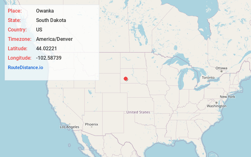
Full AddressOwanka, SD 57767
-
Coordinates44.0222101, -102.58739
-
LocationOwanka , South Dakota , US
-
TimezoneAmerica/Denver
-
Current Local Time4:09:01 PM America/DenverFriday, June 6, 2025
-
Page Views0
About Owanka
Owanka is an unincorporated community in Pennington County, South Dakota, United States. Although not tracked by the United States Census Bureau, Owanka has been assigned the ZIP Code of 57767.


Nearby Places
Found 10 places within 50 miles

Wasta
7.7 mi
12.4 km
Wasta, SD 57791
Get directions

Creston
9.5 mi
15.3 km
Creston, East Central Pennington, SD 57725
Get directions
Mawl Springs
11.5 mi
18.5 km
Mawl Springs, East Central Pennington, SD 57761
Get directions

New Underwood
13.3 mi
21.4 km
New Underwood, SD 57761
Get directions
Farmingdale
15.4 mi
24.8 km
Farmingdale, Rapid City East, SD 57725
Get directions

Scenic
16.8 mi
27.0 km
Scenic, SD 57780
Get directions

Wall
17.3 mi
27.8 km
Wall, SD 57790
Get directions
Viewfield
17.8 mi
28.6 km
Viewfield, Belle Fourche-Cheyenne Valleys, SD 57761
Get directions
Folsom
19.6 mi
31.5 km
Folsom, East Custer, SD 57725
Get directions
Elm Springs
20.3 mi
32.7 km
Elm Springs, SD 57791
Get directions
Location Links
Local Weather
Weather Information
Coming soon!
Location Map
Static map view of Owanka, South Dakota
Browse Places by Distance
Places within specific distances from Owanka
Short Distances
Long Distances
Click any distance to see all places within that range from Owanka. Distances shown in miles (1 mile ≈ 1.61 kilometers).