Distance to Panhandle, Ohio

Calculating Your Route
Just a moment while we process your request...
Location Information
-
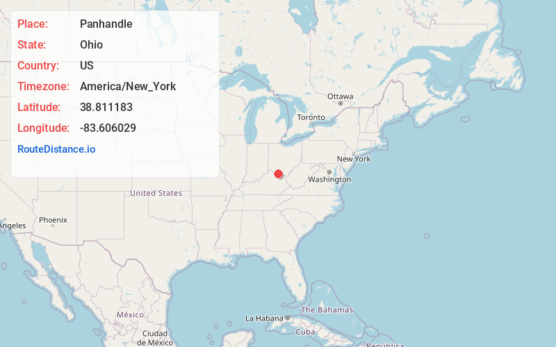
Full AddressPanhandle, Liberty Township, OH 45693
-
Coordinates38.8111828, -83.6060289
-
LocationLiberty Township , Ohio , US
-
TimezoneAmerica/New_York
-
Current Local Time11:24:56 AM America/New_YorkWednesday, June 4, 2025
-
Page Views0
Nearby Places
Found 10 places within 50 miles

West Union
3.5 mi
5.6 km
West Union, OH 45693
Get directions

Bentonville
4.3 mi
6.9 km
Bentonville, OH
Get directions

Decatur
5.3 mi
8.5 km
Decatur, OH
Get directions

Cherry Fork
5.3 mi
8.5 km
Cherry Fork, OH
Get directions
Catbird
5.8 mi
9.3 km
Catbird, Monroe Township, OH 45144
Get directions
Beasley Fork
6.0 mi
9.7 km
Beasley Fork, Ohio
Get directions
Neel
6.5 mi
10.5 km
Neel, Byrd Township, OH 45167
Get directions
Harshasville
7.5 mi
12.1 km
Harshasville, Oliver Township, OH 45693
Get directions
Wheat Ridge
7.5 mi
12.1 km
Wheat Ridge, OH 45693
Get directions
Dunkinsville
7.9 mi
12.7 km
Dunkinsville, OH 45660
Get directions
Location Links
Local Weather
Weather Information
Coming soon!
Location Map
Static map view of Panhandle, Ohio
Browse Places by Distance
Places within specific distances from Panhandle
Short Distances
Long Distances
Click any distance to see all places within that range from Panhandle. Distances shown in miles (1 mile ≈ 1.61 kilometers).