Distance to Cherry Fork, Ohio

Calculating Your Route
Just a moment while we process your request...
Location Information
-
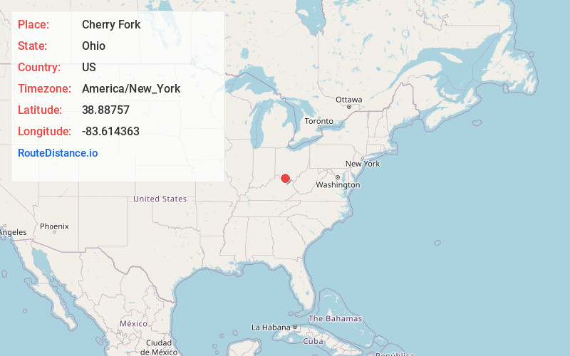
Full AddressCherry Fork, OH
-
Coordinates38.8875703, -83.6143632
-
LocationCherry Fork , Ohio , US
-
TimezoneAmerica/New_York
-
Current Local Time1:53:28 PM America/New_YorkTuesday, July 1, 2025
-
Page Views0
About Cherry Fork
Cherry Fork is an unincorporated community and former village in Wayne Township, Adams County, Ohio, United States. The population was 170 at the 2020 census. In 2014, voters chose to disincorporate the village.


Nearby Places
Found 10 places within 50 miles

Winchester
4.2 mi
6.8 km
Winchester, OH 45697
Get directions

Seaman
4.4 mi
7.1 km
Seaman, OH 45679
Get directions

West Union
7.4 mi
11.9 km
West Union, OH 45693
Get directions

Russellville
9.4 mi
15.1 km
Russellville, OH 45168
Get directions

Bentonville
9.5 mi
15.3 km
Bentonville, OH
Get directions

Peebles
12.0 mi
19.3 km
Peebles, OH 45660
Get directions
Mowrystown
12.7 mi
20.4 km
Mowrystown, OH
Get directions

Sardinia
13.3 mi
21.4 km
Sardinia, OH 45171
Get directions

Manchester
13.8 mi
22.2 km
Manchester, OH 45144
Get directions

Georgetown
15.7 mi
25.3 km
Georgetown, OH 45121
Get directions
Location Links
Local Weather
Weather Information
Coming soon!
Location Map
Static map view of Cherry Fork, Ohio
Browse Places by Distance
Places within specific distances from Cherry Fork
Short Distances
Long Distances
Click any distance to see all places within that range from Cherry Fork. Distances shown in miles (1 mile ≈ 1.61 kilometers).