Distance to Decatur, Ohio

Calculating Your Route
Just a moment while we process your request...
Location Information
-
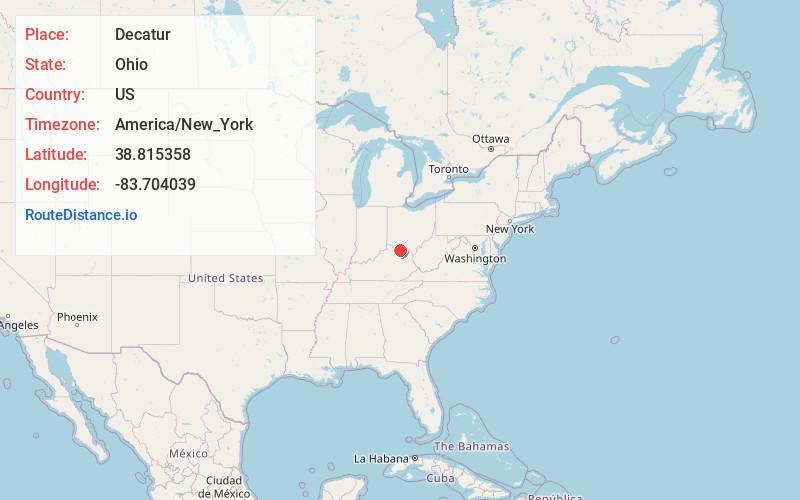
Full AddressDecatur, OH
-
Coordinates38.8153584, -83.7040392
-
LocationDecatur , Ohio , US
-
TimezoneAmerica/New_York
-
Current Local Time5:19:45 PM America/New_YorkThursday, June 19, 2025
-
Page Views0
About Decatur
Decatur is an unincorporated community in eastern Byrd Township, Brown County, Ohio, United States. It has a post office with the ZIP code 45115. It is located along State Route 125, an east-west highway.
Decatur was originally called St. Clairsville, and under the latter name was laid out around 1802.
Nearby Places
Found 10 places within 50 miles

Neel
3.1 mi
5.0 km
Neel, Byrd Township, OH 45167
Get directions

Russellville
5.7 mi
9.2 km
Russellville, OH 45168
Get directions

Bentonville
6.7 mi
10.8 km
Bentonville, OH
Get directions

Cherry Fork
6.9 mi
11.1 km
Cherry Fork, OH
Get directions

West Union
8.7 mi
14.0 km
West Union, OH 45693
Get directions

Ripley
9.0 mi
14.5 km
Ripley, OH 45167
Get directions
Winchester
9.2 mi
14.8 km
Winchester, OH 45697
Get directions
Slickaway
9.4 mi
15.1 km
Slickaway, OH 45101
Get directions

Brown County
10.1 mi
16.3 km
Brown County, OH
Get directions

Manchester
10.3 mi
16.6 km
Manchester, OH 45144
Get directions
Location Links
Local Weather
Weather Information
Coming soon!
Location Map
Static map view of Decatur, Ohio
Browse Places by Distance
Places within specific distances from Decatur
Short Distances
Long Distances
Click any distance to see all places within that range from Decatur. Distances shown in miles (1 mile ≈ 1.61 kilometers).