Distance to Parris Island, South Carolina

Calculating Your Route
Just a moment while we process your request...
Location Information
-
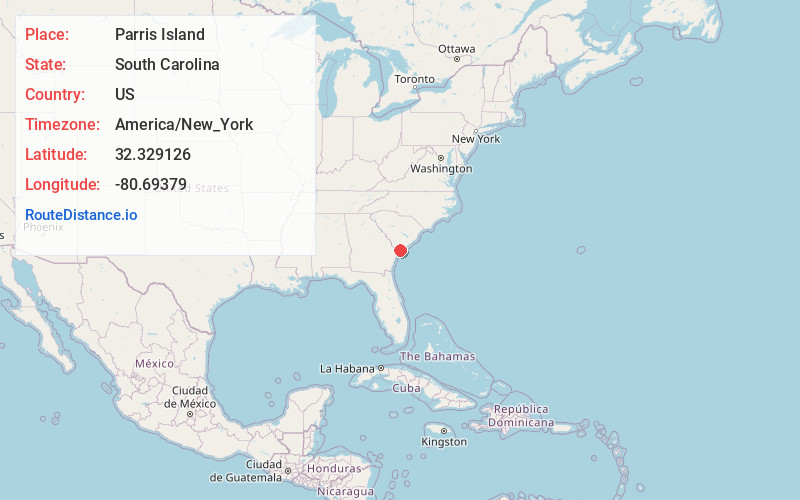
Full AddressParris Island, Port Royal, SC 29902
-
Coordinates32.329126, -80.6937896
-
NeighborhoodParris Island
-
LocationPort Royal , South Carolina , US
-
TimezoneAmerica/New_York
-
Current Local Time8:46:45 PM America/New_YorkWednesday, June 4, 2025
-
Page Views0
About Parris Island
Parris Island is a district of the city of Port Royal, South Carolina on an island of the same name. It became part of the city with the annexation of the Marine Corps Recruit Depot Parris Island on October 11, 2002.


Nearby Places
Found 10 places within 50 miles

Port Royal
3.5 mi
5.6 km
Port Royal, SC
Get directions

Fort Fremont
3.6 mi
5.8 km
Fort Fremont, SC 29920
Get directions

Lands End
4.0 mi
6.4 km
Lands End, SC 29920
Get directions

Shell Point
4.4 mi
7.1 km
Shell Point, SC
Get directions

Longwood
4.9 mi
7.9 km
Longwood, SC 29920
Get directions

St Phillips Island
5.6 mi
9.0 km
St Phillips Island, South Carolina 29920
Get directions
Hazel Farm
5.8 mi
9.3 km
Hazel Farm, SC 29907
Get directions

Beaufort
7.2 mi
11.6 km
Beaufort, SC
Get directions
Burton
7.6 mi
12.2 km
Burton, SC
Get directions
Polk Village
7.9 mi
12.7 km
Polk Village, SC 29902
Get directions
Location Links
Local Weather
Weather Information
Coming soon!
Location Map
Static map view of Parris Island, South Carolina
Browse Places by Distance
Places within specific distances from Parris Island
Short Distances
Long Distances
Click any distance to see all places within that range from Parris Island. Distances shown in miles (1 mile ≈ 1.61 kilometers).