Distance to Patterson, North Carolina

Calculating Your Route
Just a moment while we process your request...
Location Information
-
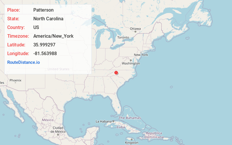
Full AddressPatterson, NC 28645
-
Coordinates35.9992972, -81.5639876
-
LocationPatterson , North Carolina , US
-
TimezoneAmerica/New_York
-
Current Local Time10:33:59 AM America/New_YorkMonday, June 23, 2025
-
Page Views0
About Patterson
Patterson is an unincorporated community in Caldwell County, North Carolina, United States. Patterson is located near U.S. Route 321, 6 miles north-northwest of Lenoir. Patterson has a post office with ZIP code 28661.
Clover Hill was listed on the National Register of Historic Places in 1973.

Nearby Places
Found 10 places within 50 miles

Happy Valley
0.8 mi
1.3 km
Happy Valley, NC 28645
Get directions
Legerwood
2.7 mi
4.3 km
Legerwood, NC 28645
Get directions
Fort Defiance
4.0 mi
6.4 km
Fort Defiance, NC 28645
Get directions
Olivette
4.7 mi
7.6 km
Olivette, NC 28645
Get directions
Finley
5.4 mi
8.7 km
Finley, NC 28645
Get directions

Lenoir
6.1 mi
9.8 km
Lenoir, NC
Get directions
Abingdon
6.3 mi
10.1 km
Abingdon, NC 28645
Get directions
Cedar Rock
7.0 mi
11.3 km
Cedar Rock, NC 28645
Get directions
Bailey Camp
8.6 mi
13.8 km
Bailey Camp, NC 28645
Get directions
Grandin
8.8 mi
14.2 km
Grandin, NC 28645
Get directions
Location Links
Local Weather
Weather Information
Coming soon!
Location Map
Static map view of Patterson, North Carolina
Browse Places by Distance
Places within specific distances from Patterson
Short Distances
Long Distances
Click any distance to see all places within that range from Patterson. Distances shown in miles (1 mile ≈ 1.61 kilometers).