Distance to Payne, Colorado

Calculating Your Route
Just a moment while we process your request...
Location Information
-
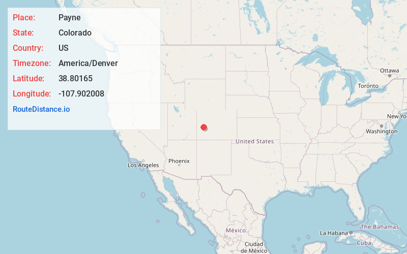
Full AddressPayne, CO 81419
-
Coordinates38.8016501, -107.9020083
-
LocationColorado , US
-
TimezoneAmerica/Denver
-
Current Local Time8:57:50 PM America/DenverTuesday, June 3, 2025
-
Page Views0
Nearby Places
Found 10 places within 50 miles

Orchard City
4.3 mi
6.9 km
Orchard City, CO
Get directions
Saxton
4.4 mi
7.1 km
Saxton, CO 81416
Get directions
Read
4.7 mi
7.6 km
Read, CO 81416
Get directions
Lazear
6.6 mi
10.6 km
Lazear, CO 81419
Get directions

Cedaredge
7.0 mi
11.3 km
Cedaredge, CO 81413
Get directions
Colby
9.8 mi
15.8 km
Colby, CO 81413
Get directions

Hotchkiss
9.8 mi
15.8 km
Hotchkiss, CO
Get directions

Delta
9.9 mi
15.9 km
Delta, CO 81416
Get directions
Chipeta
10.1 mi
16.3 km
Chipeta, CO 81416
Get directions

Olathe
14.3 mi
23.0 km
Olathe, CO 81425
Get directions
Location Links
Local Weather
Weather Information
Coming soon!
Location Map
Static map view of Payne, Colorado
Browse Places by Distance
Places within specific distances from Payne
Short Distances
Long Distances
Click any distance to see all places within that range from Payne. Distances shown in miles (1 mile ≈ 1.61 kilometers).