Distance to Pearl, Georgia

Calculating Your Route
Just a moment while we process your request...
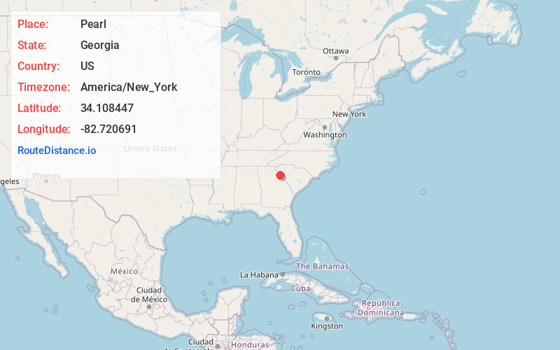
Location Information
-
Full AddressPearl, GA 30635
-
Coordinates34.1084467, -82.7206907
-
LocationGeorgia , US
-
TimezoneAmerica/New_York
-
Current Local Time9:55:10 AM America/New_YorkFriday, May 30, 2025
-
Page Views0
Nearby Places
Found 10 places within 50 miles

Calhoun Falls
7.2 mi
11.6 km
Calhoun Falls, SC 29628
Get directions

Latimer
7.5 mi
12.1 km
Latimer, SC 29628
Get directions
Lowndesville
8.3 mi
13.4 km
Lowndesville, SC
Get directions

Elberton
8.4 mi
13.5 km
Elberton, GA 30635
Get directions
Broad
11.2 mi
18.0 km
Broad, GA 30668
Get directions
Saxon
12.9 mi
20.8 km
Saxon, GA 30627
Get directions

Dewy Rose
13.9 mi
22.4 km
Dewy Rose, GA 30634
Get directions

Iva
14.1 mi
22.7 km
Iva, SC 29655
Get directions

Mt Carmel
14.1 mi
22.7 km
Mt Carmel, SC
Get directions

Lake Secession
14.1 mi
22.7 km
Lake Secession, SC
Get directions
Location Links
Local Weather
Weather Information
Coming soon!
Location Map
Static map view of Pearl, Georgia
Browse Places by Distance
Places within specific distances from Pearl
Short Distances
Long Distances
Click any distance to see all places within that range from Pearl. Distances shown in miles (1 mile ≈ 1.61 kilometers).