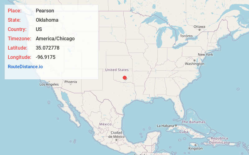
Distance to Pearson, Oklahoma

Calculating Your Route
Just a moment while we process your request...
Location Information
-
Full AddressPearson, OK 74852
-
Coordinates35.072778, -96.9175
-
LocationPearson , Oklahoma , US
-
TimezoneAmerica/Chicago
-
Current Local Time4:30:58 AM America/ChicagoThursday, May 29, 2025
-
Page Views0
About Pearson
Pearson is an unincorporated community in Pottawatomie County, Oklahoma, United States. It is located just east of the U.S. Route 177/State Highway 3W - State Highway 59 junction. The locale is old enough to appear on a 1911 Rand McNally map of the county.
Nearby Places
Found 10 places within 50 miles

St Louis
3.1 mi
5.0 km
St Louis, OK
Get directions

Avoca
4.1 mi
6.6 km
Avoca, OK 74826
Get directions

Asher
5.8 mi
9.3 km
Asher, OK 74826
Get directions

Macomb
7.3 mi
11.7 km
Macomb, OK
Get directions
Trousdale
7.4 mi
11.9 km
Trousdale, OK 74878
Get directions

Tribbey
8.2 mi
13.2 km
Tribbey, OK
Get directions

Maud
8.9 mi
14.3 km
Maud, OK 74854
Get directions

Brooksville
9.1 mi
14.6 km
Brooksville, OK 74873
Get directions

Wanette
10.0 mi
16.1 km
Wanette, OK
Get directions
Burnett
10.9 mi
17.5 km
Burnett, OK 74852
Get directions
Location Links
Local Weather
Weather Information
Coming soon!
Location Map
Static map view of Pearson, Oklahoma
Browse Places by Distance
Places within specific distances from Pearson
Short Distances
Long Distances
Click any distance to see all places within that range from Pearson. Distances shown in miles (1 mile ≈ 1.61 kilometers).