Distance to Phillips, California

Calculating Your Route
Just a moment while we process your request...
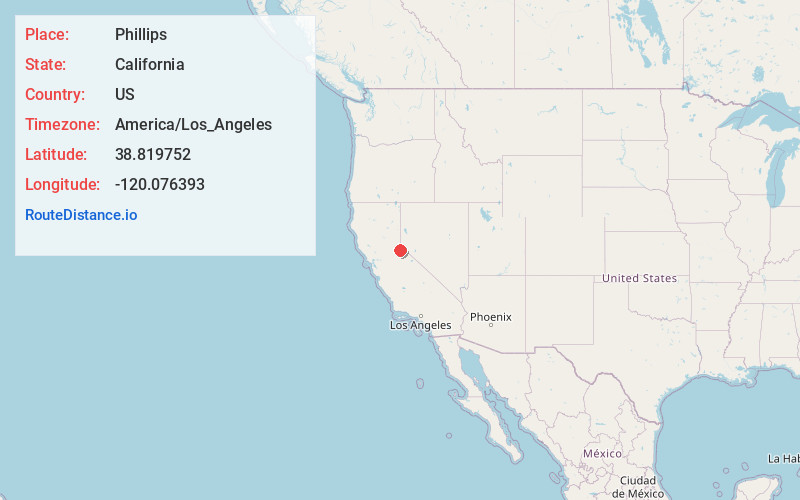
Location Information
-
Full AddressPhillips, CA 95721
-
Coordinates38.819752, -120.076393
-
LocationPhillips , California , US
-
TimezoneAmerica/Los_Angeles
-
Current Local Time8:40:27 PM America/Los_AngelesThursday, June 19, 2025
-
Page Views0
About Phillips
Phillips is a small unincorporated community in El Dorado County, California. It is located on the South Fork of the American River, 2.5 miles west of Echo Summit, at an elevation of 6,873 feet. It is the site of the Sierra-at-Tahoe ski resort. The ZIP code is 95720. The community is inside area code 530.

Nearby Places
Found 10 places within 50 miles

Echo Lake
2.1 mi
3.4 km
Echo Lake, CA 95721
Get directions

Nebelhorn
2.4 mi
3.9 km
Nebelhorn, CA 96150
Get directions

Meyers
3.6 mi
5.8 km
Meyers, CA 96150
Get directions

Grass Lake
4.1 mi
6.6 km
Grass Lake, California 96150
Get directions
Sciots Camp
4.8 mi
7.7 km
Sciots Camp, CA 95735
Get directions

Upper Forni
5.1 mi
8.2 km
Upper Forni, CA 95735
Get directions

Fallen Leaf Lake
5.8 mi
9.3 km
Fallen Leaf Lake, South Lake Tahoe, CA 96150
Get directions
Tallac Village
7.6 mi
12.2 km
Tallac Village, South Lake Tahoe, CA 96150
Get directions

Kirkwood
8.1 mi
13.0 km
Kirkwood, CA 95646
Get directions
Camp Richardson
8.2 mi
13.2 km
Camp Richardson, CA 96150
Get directions
Location Links
Local Weather
Weather Information
Coming soon!
Location Map
Static map view of Phillips, California
Browse Places by Distance
Places within specific distances from Phillips
Short Distances
Long Distances
Click any distance to see all places within that range from Phillips. Distances shown in miles (1 mile ≈ 1.61 kilometers).