Distance to Pinckney Crossroad, South Carolina

Calculating Your Route
Just a moment while we process your request...
Location Information
-
Full AddressPinckney Crossroad, SC 29154
-
Coordinates33.9934873, -80.4945283
-
LocationSouth Carolina , US
-
TimezoneAmerica/New_York
-
Current Local Time10:23:03 AM America/New_YorkTuesday, June 24, 2025
-
Page Views0
Nearby Places
Found 10 places within 50 miles

Oakland
0.4 mi
0.6 km
Oakland, SC
Get directions
Catchall
1.1 mi
1.8 km
Catchall, SC 29040
Get directions
Cherryvale
3.3 mi
5.3 km
Cherryvale, SC 29154
Get directions

Stateburg
3.4 mi
5.5 km
Stateburg, SC
Get directions
Dinkins Mill
4.0 mi
6.4 km
Dinkins Mill, SC 29128
Get directions

Dalzell
4.0 mi
6.4 km
Dalzell, SC
Get directions
Horatio
4.5 mi
7.2 km
Horatio, SC 29128
Get directions
Gaillard Crossroads
5.2 mi
8.4 km
Gaillard Crossroads, SC 29128
Get directions
Ellerbees Mill
5.6 mi
9.0 km
Ellerbees Mill, SC 29128
Get directions
Hagood
6.2 mi
10.0 km
Hagood, SC 29128
Get directions
Location Links
Local Weather
Weather Information
Coming soon!
Location Map
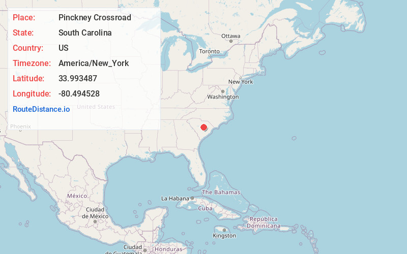
Static map view of Pinckney Crossroad, South Carolina
Browse Places by Distance
Places within specific distances from Pinckney Crossroad
Short Distances
Long Distances
Click any distance to see all places within that range from Pinckney Crossroad. Distances shown in miles (1 mile ≈ 1.61 kilometers).