Distance to Pinecliffe, Colorado

Calculating Your Route
Just a moment while we process your request...
Location Information
-
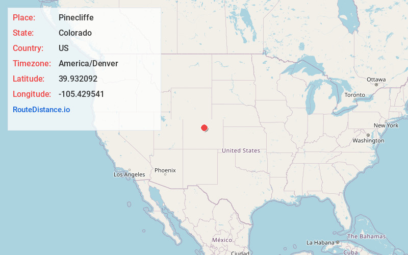
Full AddressPinecliffe, CO
-
Coordinates39.9320923, -105.4295406
-
LocationPinecliffe , Colorado , US
-
TimezoneAmerica/Denver
-
Current Local Time2:24:03 AM America/DenverFriday, June 20, 2025
-
Page Views0
About Pinecliffe
Pinecliffe is a U.S. Post Office and an unincorporated community located in Boulder County and Gilpin County, Colorado, United States. The Pinecliffe Post Office, in Boulder County, has the ZIP Code 80471.


Nearby Places
Found 10 places within 50 miles

Lincoln Hills
1.7 mi
2.7 km
Lincoln Hills, CO 80422
Get directions
Crescent Village
3.7 mi
6.0 km
Crescent Village, CO 80403
Get directions

Rollinsville
3.9 mi
6.3 km
Rollinsville, CO
Get directions
St Ann Highlands
4.0 mi
6.4 km
St Ann Highlands, St. Ann Highlands, CO 80466
Get directions

Coal Creek
4.2 mi
6.8 km
Coal Creek, CO 80403
Get directions

Crescent
4.6 mi
7.4 km
Crescent, CO 80403
Get directions

Nederland
4.8 mi
7.7 km
Nederland, CO 80466
Get directions
Switzerland Park
4.8 mi
7.7 km
Switzerland Park, CO 80302
Get directions
Gilpin
5.0 mi
8.0 km
Gilpin, CO 80422
Get directions
Magnolia
5.5 mi
8.9 km
Magnolia, CO 80466
Get directions
Location Links
Local Weather
Weather Information
Coming soon!
Location Map
Static map view of Pinecliffe, Colorado
Browse Places by Distance
Places within specific distances from Pinecliffe
Short Distances
Long Distances
Click any distance to see all places within that range from Pinecliffe. Distances shown in miles (1 mile ≈ 1.61 kilometers).