Distance to Pioneertown, California

Calculating Your Route
Just a moment while we process your request...
Location Information
-
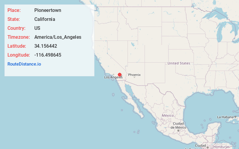
Full AddressPioneertown, CA
-
Coordinates34.1564418, -116.4986445
-
LocationPioneertown , California , US
-
TimezoneAmerica/Los_Angeles
-
Current Local Time11:55:48 AM America/Los_AngelesSaturday, June 21, 2025
-
Page Views0
About Pioneertown
Pioneertown is an unincorporated community of the Morongo Basin region of the High Desert in San Bernardino County, California, United States. It is an 1880s-themed town developed as a shooting location for actors working on Western films and TV series which includes businesses and residences.


Nearby Places
Found 10 places within 50 miles

Yucca Valley
4.8 mi
7.7 km
Yucca Valley, CA 92284
Get directions

Homestead Valley
7.2 mi
11.6 km
Homestead Valley, CA
Get directions

Morongo Valley
8.9 mi
14.3 km
Morongo Valley, CA 92256
Get directions

Joshua Tree
10.7 mi
17.2 km
Joshua Tree, CA
Get directions

Garnet
16.0 mi
25.7 km
Garnet, CA
Get directions

Bonnie Bell
16.6 mi
26.7 km
Bonnie Bell, CA 92282
Get directions

Desert Edge
16.7 mi
26.9 km
Desert Edge, CA
Get directions

Sunfair Heights
17.0 mi
27.4 km
Sunfair Heights, CA 92252
Get directions

Whitewater
19.1 mi
30.7 km
Whitewater, CA 92282
Get directions

Sky Valley
19.2 mi
30.9 km
Sky Valley, CA 92241
Get directions
Location Links
Local Weather
Weather Information
Coming soon!
Location Map
Static map view of Pioneertown, California
Browse Places by Distance
Places within specific distances from Pioneertown
Short Distances
Long Distances
Click any distance to see all places within that range from Pioneertown. Distances shown in miles (1 mile ≈ 1.61 kilometers).