Distance to Piru, California

Calculating Your Route
Just a moment while we process your request...
Location Information
-
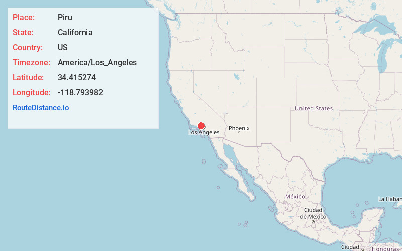
Full AddressPiru, CA
-
Coordinates34.4152743, -118.7939824
-
LocationPiru , California , US
-
TimezoneAmerica/Los_Angeles
-
Current Local Time10:07:20 AM America/Los_AngelesSaturday, June 28, 2025
-
Page Views0
About Piru
Piru is a small unincorporated historic town located in eastern Ventura County, California, in the Santa Clara River Valley near the Santa Clara River and Highway 126, about seven miles east of Fillmore and about 13 miles west of Interstate 5.


Nearby Places
Found 10 places within 50 miles

Fillmore
7.2 mi
11.6 km
Fillmore, CA 93015
Get directions

Val Verde
8.0 mi
12.9 km
Val Verde, CA 91384
Get directions

Simi Valley
10.1 mi
16.3 km
Simi Valley, CA
Get directions

Moorpark
10.3 mi
16.6 km
Moorpark, CA 93021
Get directions

Castaic
10.9 mi
17.5 km
Castaic, CA 91384
Get directions

Santa Clarita
14.4 mi
23.2 km
Santa Clarita, CA
Get directions

Santa Paula
15.7 mi
25.3 km
Santa Paula, CA 93060
Get directions

Oak Park
16.4 mi
26.4 km
Oak Park, CA 91377
Get directions

Thousand Oaks
16.8 mi
27.0 km
Thousand Oaks, CA
Get directions

Agoura Hills
18.2 mi
29.3 km
Agoura Hills, CA 91301
Get directions
Location Links
Local Weather
Weather Information
Coming soon!
Location Map
Static map view of Piru, California
Browse Places by Distance
Places within specific distances from Piru
Short Distances
Long Distances
Click any distance to see all places within that range from Piru. Distances shown in miles (1 mile ≈ 1.61 kilometers).