Distance to Plaster City, California

Calculating Your Route
Just a moment while we process your request...
Location Information
-
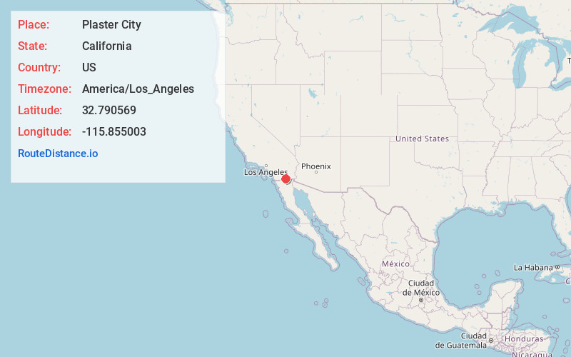
Full AddressPlaster City, CA 92251
-
Coordinates32.790569, -115.855003
-
LocationPlaster City , California , US
-
TimezoneAmerica/Los_Angeles
-
Current Local Time1:58:27 AM America/Los_AngelesThursday, June 5, 2025
-
Page Views0
About Plaster City
Plaster City, California is a company town with a large gypsum quarry and plant owned by United States Gypsum in Imperial County, California. It is located 17 miles west of El Centro, at an elevation of 105 feet, a two-hour drive south of Palm Springs, or a 90 minute drive east from San Diego.


Nearby Places
Found 10 places within 50 miles

Dixieland
4.9 mi
7.9 km
Dixieland, CA 92251
Get directions

Coyote Wells
7.4 mi
11.9 km
Coyote Wells, CA 92259
Get directions

Ocotillo
8.8 mi
14.2 km
Ocotillo, CA 92259
Get directions

Seeley
9.5 mi
15.3 km
Seeley, CA
Get directions

Mt Signal
14.7 mi
23.7 km
Mt Signal, CA 92231
Get directions
Dos Cabezas
16.9 mi
27.2 km
Dos Cabezas, CA
Get directions

El Centro
17.0 mi
27.4 km
El Centro, CA
Get directions

Imperial
17.0 mi
27.4 km
Imperial, CA
Get directions

Mortero Palms
17.9 mi
28.8 km
Mortero Palms, CA
Get directions

Heber
19.3 mi
31.1 km
Heber, CA 92249
Get directions
Location Links
Local Weather
Weather Information
Coming soon!
Location Map
Static map view of Plaster City, California
Browse Places by Distance
Places within specific distances from Plaster City
Short Distances
Long Distances
Click any distance to see all places within that range from Plaster City. Distances shown in miles (1 mile ≈ 1.61 kilometers).