Distance to Pleasant Plains, Arkansas

Calculating Your Route
Just a moment while we process your request...
Location Information
-
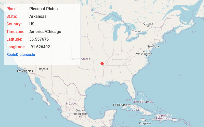
Full AddressPleasant Plains, AR 72568
-
Coordinates35.5576754, -91.6264921
-
LocationPleasant Plains , Arkansas , US
-
TimezoneAmerica/Chicago
-
Current Local Time1:46:07 PM America/ChicagoTuesday, June 24, 2025
-
Page Views0
About Pleasant Plains
Pleasant Plains is a town in Independence County, Arkansas, United States. The population was 349 at the 2010 census, up from 267 in 2000.
Nearby Places
Found 10 places within 50 miles

Salado
9.4 mi
15.1 km
Salado, AR 72501
Get directions

Southside
9.7 mi
15.6 km
Southside, AR 72501
Get directions

Oil Trough
10.5 mi
16.9 km
Oil Trough, AR 72564
Get directions
Desha
12.7 mi
20.4 km
Desha, AR
Get directions

Bradford
13.4 mi
21.6 km
Bradford, AR 72020
Get directions
Newark
14.3 mi
23.0 km
Newark, AR 72562
Get directions

Batesville
14.7 mi
23.7 km
Batesville, AR 72501
Get directions

Pangburn
14.9 mi
24.0 km
Pangburn, AR 72121
Get directions

Russell
15.0 mi
24.1 km
Russell, AR 72010
Get directions
Wilburn
15.1 mi
24.3 km
Wilburn, AR
Get directions
Location Links
Local Weather
Weather Information
Coming soon!
Location Map
Static map view of Pleasant Plains, Arkansas
Browse Places by Distance
Places within specific distances from Pleasant Plains
Short Distances
Long Distances
Click any distance to see all places within that range from Pleasant Plains. Distances shown in miles (1 mile ≈ 1.61 kilometers).