Distance to Point of Sands, New Mexico

Calculating Your Route
Just a moment while we process your request...
Location Information
-
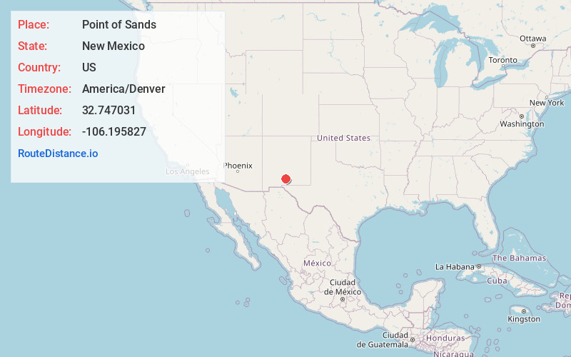
Full AddressPoint of Sands, NM 88352
-
Coordinates32.7470311, -106.1958268
-
LocationNew Mexico , US
-
TimezoneAmerica/Denver
-
Current Local Time8:54:46 AM America/DenverFriday, May 30, 2025
-
Page Views0
Nearby Places
Found 10 places within 50 miles

White Sands National Park
8.0 mi
12.9 km
White Sands National Park, New Mexico
Get directions

Holloman AFB
8.7 mi
14.0 km
Holloman AFB, NM 88330
Get directions

Valmont
12.1 mi
19.5 km
Valmont, NM 88310
Get directions

Boles Acres
13.1 mi
21.1 km
Boles Acres, NM 88310
Get directions
Omlee
14.4 mi
23.2 km
Omlee, Boles Acres, NM 88310
Get directions

Alamogordo
17.3 mi
27.8 km
Alamogordo, NM 88310
Get directions
Kearney
20.1 mi
32.3 km
Kearney, NM 88310
Get directions
Laborcita Canyon
23.5 mi
37.8 km
Laborcita Canyon, New Mexico 88337
Get directions

Tularosa
24.8 mi
39.9 km
Tularosa, NM 88352
Get directions

High Rolls
25.2 mi
40.6 km
High Rolls, NM
Get directions
Location Links
Local Weather
Weather Information
Coming soon!
Location Map
Static map view of Point of Sands, New Mexico
Browse Places by Distance
Places within specific distances from Point of Sands
Short Distances
Long Distances
Click any distance to see all places within that range from Point of Sands. Distances shown in miles (1 mile ≈ 1.61 kilometers).