Distance to Pottawatomie County, Kansas

Calculating Your Route
Just a moment while we process your request...
Location Information
-
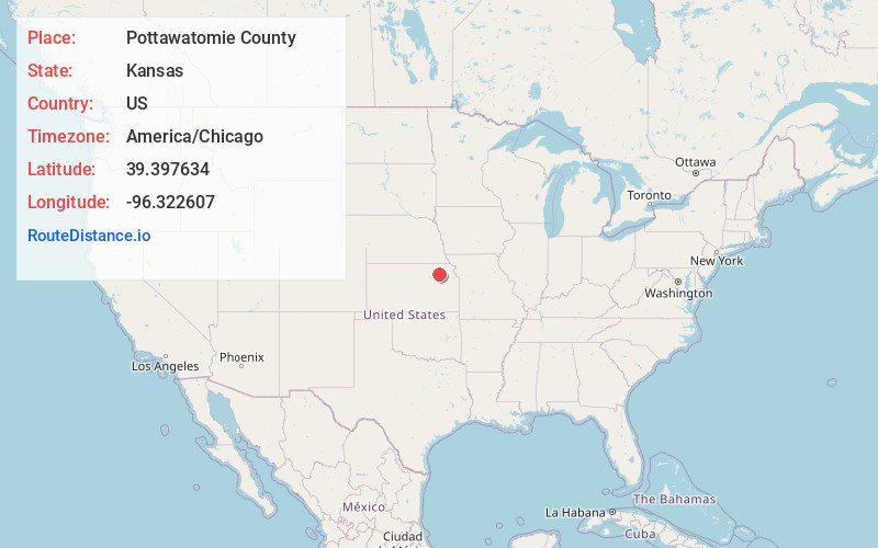
Full AddressPottawatomie County, KS
-
Coordinates39.3976344, -96.3226072
-
LocationKansas , US
-
TimezoneAmerica/Chicago
-
Current Local Time12:30:30 PM America/ChicagoFriday, June 13, 2025
-
Page Views0
About Pottawatomie County
Pottawatomie County is a county located in the U.S. state of Kansas. Its county seat is Westmoreland. As of the 2020 census, the county population was 25,348. The county was named for the Potawatomi tribe.
Nearby Places
Found 10 places within 50 miles

Westmoreland
4.9 mi
7.9 km
Westmoreland, KS 66549
Get directions

Laclede
6.4 mi
10.3 km
Laclede, Center Township, KS 66547
Get directions
Wheaton
7.2 mi
11.6 km
Wheaton, KS
Get directions

Blaine
8.1 mi
13.0 km
Blaine, KS 66549
Get directions
Flush
9.5 mi
15.3 km
Flush, Pottawatomie Township, KS 66535
Get directions
Louisville
10.2 mi
16.4 km
Louisville, KS 66547
Get directions
Duluth
10.3 mi
16.6 km
Duluth, KS 66521
Get directions
Onaga
10.3 mi
16.6 km
Onaga, KS 66521
Get directions
Fostoria
10.3 mi
16.6 km
Fostoria, KS 66549
Get directions
Aikins
11.2 mi
18.0 km
Aikins, KS 66422
Get directions
Location Links
Local Weather
Weather Information
Coming soon!
Location Map
Static map view of Pottawatomie County, Kansas
Browse Places by Distance
Places within specific distances from Pottawatomie County
Short Distances
Long Distances
Click any distance to see all places within that range from Pottawatomie County. Distances shown in miles (1 mile ≈ 1.61 kilometers).