Distance to Pottsville, Kentucky

Calculating Your Route
Just a moment while we process your request...
Location Information
-
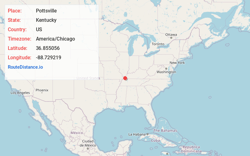
Full AddressPottsville, KY 42051
-
Coordinates36.8550563, -88.7292189
-
LocationPottsville , Kentucky , US
-
TimezoneAmerica/Chicago
-
Current Local Time2:17:30 PM America/ChicagoSunday, June 1, 2025
-
Page Views0
About Pottsville
Pottsville is an unincorporated community in Graves County, Kentucky, United States.
Nearby Places
Found 10 places within 50 miles

Lowes
3.3 mi
5.3 km
Lowes, KY
Get directions
West Viola
3.7 mi
6.0 km
West Viola, KY 42051
Get directions
Viola
4.9 mi
7.9 km
Viola, KY 42051
Get directions
Hickory
5.0 mi
8.0 km
Hickory, KY
Get directions

Fancy Farm
5.2 mi
8.4 km
Fancy Farm, KY 42039
Get directions
Dogwood
8.7 mi
14.0 km
Dogwood, KY 42051
Get directions

Mayfield
9.4 mi
15.1 km
Mayfield, KY 42066
Get directions

Cunningham
9.6 mi
15.4 km
Cunningham, KY
Get directions
Dublin
9.8 mi
15.8 km
Dublin, KY 42066
Get directions
Milburn
10.2 mi
16.4 km
Milburn, KY 42021
Get directions
Location Links
Local Weather
Weather Information
Coming soon!
Location Map
Static map view of Pottsville, Kentucky
Browse Places by Distance
Places within specific distances from Pottsville
Short Distances
Long Distances
Click any distance to see all places within that range from Pottsville. Distances shown in miles (1 mile ≈ 1.61 kilometers).