Distance to Powhatan, North Carolina

Calculating Your Route
Just a moment while we process your request...
Location Information
-
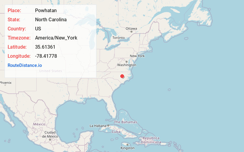
Full AddressPowhatan, NC 27520
-
Coordinates35.61361, -78.4177799
-
LocationPowhatan , North Carolina , US
-
TimezoneAmerica/New_York
-
Current Local Time10:09:21 PM America/New_YorkSunday, June 22, 2025
-
Page Views0
About Powhatan
Powhatan is an unincorporated community in Johnston County, North Carolina, United States, centered on the intersection of Powhatan Road and U.S. Route 70 Business, equidistant from the towns of Clayton and Wilson's Mills. It lies at an elevation of 302 feet.
Nearby Places
Found 10 places within 50 miles

Clayton
3.4 mi
5.5 km
Clayton, NC
Get directions

Wilsons Mills
4.0 mi
6.4 km
Wilsons Mills, NC
Get directions
Whitley Heights
4.4 mi
7.1 km
Whitley Heights, NC 27577
Get directions
Flowers
4.9 mi
7.9 km
Flowers, NC 27576
Get directions

Archer Lodge
6.0 mi
9.7 km
Archer Lodge, NC
Get directions
Jordan
7.3 mi
11.7 km
Jordan, NC 27576
Get directions

Willow Springs
7.5 mi
12.1 km
Willow Springs, NC 27520
Get directions

Smithfield
8.5 mi
13.7 km
Smithfield, NC
Get directions
Shotwell
8.7 mi
14.0 km
Shotwell, NC 27610
Get directions
Mill Branch
9.1 mi
14.6 km
Mill Branch, North Carolina 27529
Get directions
Location Links
Local Weather
Weather Information
Coming soon!
Location Map
Static map view of Powhatan, North Carolina
Browse Places by Distance
Places within specific distances from Powhatan
Short Distances
Long Distances
Click any distance to see all places within that range from Powhatan. Distances shown in miles (1 mile ≈ 1.61 kilometers).