Distance to Preston Ferry, Arkansas

Calculating Your Route
Just a moment while we process your request...
Location Information
-
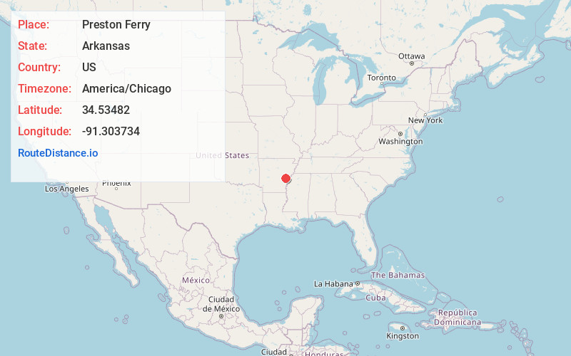
Full AddressPreston Ferry, AR 72026
-
Coordinates34.53482, -91.3037344
-
LocationPreston Ferry , Arkansas , US
-
TimezoneAmerica/Chicago
-
Current Local Time6:40:36 PM America/ChicagoSunday, June 1, 2025
-
Page Views0
Nearby Places
Found 10 places within 50 miles

Casscoe
1.4 mi
2.3 km
Casscoe, AR 72026
Get directions
Lookout
4.6 mi
7.4 km
Lookout, AR 72160
Get directions
Aberdeen
5.2 mi
8.4 km
Aberdeen, AR 72134
Get directions
Duncan
6.7 mi
10.8 km
Duncan, AR 72029
Get directions
Lawrenceville
7.2 mi
11.6 km
Lawrenceville, AR 72069
Get directions

Holly Grove
7.2 mi
11.6 km
Holly Grove, AR 72069
Get directions
Deep Elm
7.4 mi
11.9 km
Deep Elm, AR 72069
Get directions
Roe
8.2 mi
13.2 km
Roe, AR 72134
Get directions
Immanuel
9.3 mi
15.0 km
Immanuel, AR 72003
Get directions
Ulm
9.4 mi
15.1 km
Ulm, AR 72160
Get directions
Location Links
Local Weather
Weather Information
Coming soon!
Location Map
Static map view of Preston Ferry, Arkansas
Browse Places by Distance
Places within specific distances from Preston Ferry
Short Distances
Long Distances
Click any distance to see all places within that range from Preston Ferry. Distances shown in miles (1 mile ≈ 1.61 kilometers).