Distance to and from Aberdeen, Arkansas
Aberdeen, AR 72134
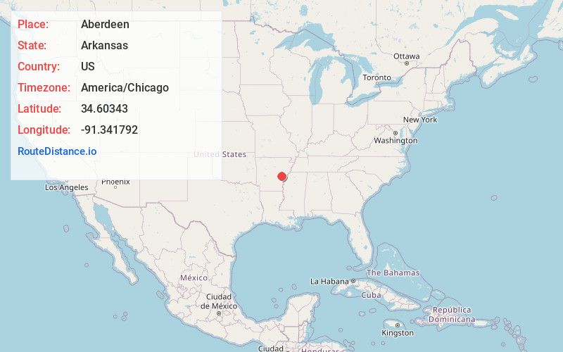
Aberdeen
Arkansas
US
America/Chicago
Location Information
-
Full AddressAberdeen, AR 72134
-
Coordinates34.6034302, -91.3417918
-
LocationAberdeen , Arkansas , US
-
TimezoneAmerica/Chicago
-
Current Local Time6:17:18 PM America/ChicagoSaturday, May 3, 2025
-
Page Views0
Directions to Nearest Cities
About Aberdeen
Aberdeen is a populated place in Monroe County, Arkansas, United States. The nearest communities are Roe also in Monroe County, approximately 3 miles to the northwest, Casscoe in Arkansas County approximately 5 miles to the southeast and Preston Ferry in Arkansas County, approximately 5 miles to the south.
Nearby Places
Found 10 places within 50 miles

Roe
3.2 mi
5.1 km
Roe, AR 72134
Get directions

Clarendon
6.4 mi
10.3 km
Clarendon, AR
Get directions
Ulm
7.0 mi
11.3 km
Ulm, AR 72160
Get directions

Holly Grove
8.1 mi
13.0 km
Holly Grove, AR 72069
Get directions
Deep Elm
10.5 mi
16.9 km
Deep Elm, AR 72069
Get directions
Kay
11.7 mi
18.8 km
Kay, AR 72160
Get directions
Yoder
13.3 mi
21.4 km
Yoder, AR 72160
Get directions
Immanuel
14.0 mi
22.5 km
Immanuel, AR 72003
Get directions
Almyra
14.2 mi
22.9 km
Almyra, AR 72003
Get directions

De Valls Bluff
14.2 mi
22.9 km
De Valls Bluff, AR 72041
Get directions
Roe
3.2 mi
5.1 km
Roe, AR 72134
Clarendon
6.4 mi
10.3 km
Clarendon, AR
Ulm
7.0 mi
11.3 km
Ulm, AR 72160
Holly Grove
8.1 mi
13.0 km
Holly Grove, AR 72069
Deep Elm
10.5 mi
16.9 km
Deep Elm, AR 72069
Kay
11.7 mi
18.8 km
Kay, AR 72160
Yoder
13.3 mi
21.4 km
Yoder, AR 72160
Immanuel
14.0 mi
22.5 km
Immanuel, AR 72003
Almyra
14.2 mi
22.9 km
Almyra, AR 72003
De Valls Bluff
14.2 mi
22.9 km
De Valls Bluff, AR 72041
Location Links
Local Weather
Weather Information
Coming soon!
Location Map
Static map view of Aberdeen, Arkansas
Browse Places by Distance
Places within specific distances from Aberdeen
Short Distances
Long Distances
Click any distance to see all places within that range from Aberdeen. Distances shown in miles (1 mile ≈ 1.61 kilometers).