Distance to Punkin Corner, Idaho

Calculating Your Route
Just a moment while we process your request...
Location Information
-
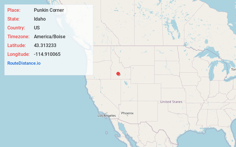
Full AddressPunkin Corner, ID 83327
-
Coordinates43.3132329, -114.9100649
-
LocationPunkin Corner , Idaho , US
-
TimezoneAmerica/Boise
-
Current Local Time11:26:46 AM America/BoiseSaturday, May 31, 2025
-
Page Views0
Nearby Places
Found 10 places within 50 miles

Corral
5.4 mi
8.7 km
Corral, ID 83327
Get directions

Fairfield
6.4 mi
10.3 km
Fairfield, ID 83327
Get directions

Soldier
7.1 mi
11.4 km
Soldier, ID 83327
Get directions

Hill City
7.2 mi
11.6 km
Hill City, ID 83337
Get directions
Selby
10.2 mi
16.4 km
Selby, ID 83327
Get directions
Rands
13.1 mi
21.1 km
Rands, ID 83327
Get directions
Macon
18.4 mi
29.6 km
Macon, ID 83327
Get directions

Castle Rocks
20.4 mi
32.8 km
Castle Rocks, ID 83647
Get directions
Doniphan
22.4 mi
36.0 km
Doniphan, ID 83333
Get directions
Carrietown
22.7 mi
36.5 km
Carrietown, ID 83340
Get directions
Location Links
Local Weather
Weather Information
Coming soon!
Location Map
Static map view of Punkin Corner, Idaho
Browse Places by Distance
Places within specific distances from Punkin Corner
Short Distances
Long Distances
Click any distance to see all places within that range from Punkin Corner. Distances shown in miles (1 mile ≈ 1.61 kilometers).