Distance to Red Rock, Oklahoma

Calculating Your Route
Just a moment while we process your request...
Location Information
-
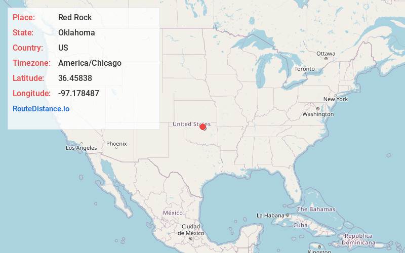
Full AddressRed Rock, OK 74651
-
Coordinates36.4583803, -97.178487
-
LocationRed Rock , Oklahoma , US
-
TimezoneAmerica/Chicago
-
Current Local Time1:30:01 PM America/ChicagoWednesday, June 18, 2025
-
Page Views0
About Red Rock
Red Rock is a town in northern Noble County, Oklahoma, United States. The population was 283 at the 2010 census, a decline from 293 at the 2000 census. The headquarters of the Otoe-Missouria Tribe of Indians is located in Red Rock.


Nearby Places
Found 10 places within 50 miles

Marland
7.2 mi
11.6 km
Marland, OK 74644
Get directions

White Eagle
11.4 mi
18.3 km
White Eagle, OK 74601
Get directions

Perry
13.2 mi
21.2 km
Perry, OK 73077
Get directions
Morrison
14.6 mi
23.5 km
Morrison, OK 73061
Get directions

Billings
15.5 mi
24.9 km
Billings, OK 74630
Get directions

Tonkawa
16.9 mi
27.2 km
Tonkawa, OK 74653
Get directions
McCord
17.2 mi
27.7 km
McCord, OK 74604
Get directions

Ponca City
17.9 mi
28.8 km
Ponca City, OK
Get directions
Glencoe
21.2 mi
34.1 km
Glencoe, OK 74032
Get directions

Pawnee
22.4 mi
36.0 km
Pawnee, OK 74058
Get directions
Location Links
Local Weather
Weather Information
Coming soon!
Location Map
Static map view of Red Rock, Oklahoma
Browse Places by Distance
Places within specific distances from Red Rock
Short Distances
Long Distances
Click any distance to see all places within that range from Red Rock. Distances shown in miles (1 mile ≈ 1.61 kilometers).