Distance to Red Top Mountain State Park, Georgia

Calculating Your Route
Just a moment while we process your request...
Location Information
-
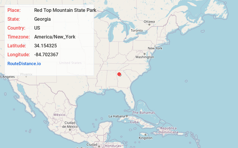
Full AddressRed Top Mountain State Park, 50 Lodge Rd SE, Acworth, GA 30102
-
Coordinates34.1543251, -84.7023666
-
Street50 Lodge Rd SE
-
LocationAcworth , Georgia , US
-
TimezoneAmerica/New_York
-
Current Local Time9:55:54 PM America/New_YorkSunday, May 25, 2025
-
Website
-
Page Views0
About Red Top Mountain State Park
Wooded peninsula surrounded by Lake Allatoona features water sports, trails, campsites & cottages.


Nearby Places
Found 10 places within 50 miles

Happy Hollow
1.9 mi
3.1 km
Happy Hollow, GA 30184
Get directions
Allatoona Beach
3.0 mi
4.8 km
Allatoona Beach, GA 30121
Get directions

Allatoona
3.3 mi
5.3 km
Allatoona, GA 30121
Get directions

Emerson
3.5 mi
5.6 km
Emerson, GA
Get directions
Laffingal
4.0 mi
6.4 km
Laffingal, GA 30184
Get directions
Etowah Mills
4.0 mi
6.4 km
Etowah Mills, GA 30102
Get directions

Corbin
4.6 mi
7.4 km
Corbin, GA 30184
Get directions
Rowland Spring
5.0 mi
8.0 km
Rowland Spring, GA 30121
Get directions
Westwood Station
5.6 mi
9.0 km
Westwood Station, GA 30102
Get directions

Cartersville
5.6 mi
9.0 km
Cartersville, GA
Get directions
Location Links
Local Weather
Weather Information
Coming soon!
Location Map
Static map view of Red Top Mountain State Park, Georgia
Browse Places by Distance
Places within specific distances from Red Top Mountain State Park
Short Distances
Long Distances
Click any distance to see all places within that range from Red Top Mountain State Park. Distances shown in miles (1 mile ≈ 1.61 kilometers).